A51 road
| |
|---|---|
 | |
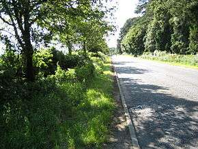 The A51 in Staffordshire | |
| Route information | |
|
Maintained by Cheshire East Council Cheshire West and Chester Council Shropshire Council Staffordshire County Council Warwickshire County Council | |
| Existed | 1922 – present |
| Major junctions | |
| North end |
Chester 52°33′31″N 1°40′51″W / 52.5586°N 1.6808°W |
| South end |
Kingsbury 53°11′32″N 2°52′56″W / 53.1921°N 2.8821°W |
| Location | |
| Counties | Cheshire, Shropshire, Staffordshire, Warwickshire |
| Primary destinations |
Chester Nantwich Stone Rugeley Lichfield Tamworth |
| Road network | |
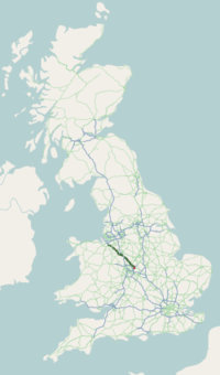
The A51 is a road in England running from Chester to Kingsbury, Warwickshire.
It takes on the following route:
- Chester
- Vicars Cross
- Littleton
- Tarvin
- Duddon
- Clotton
- Tarporley (merges briefly with A49)
- Nantwich
- Woore
- Stone (merges briefly with A34)
- Sandon
- Weston
- Great Haywood
- Little Haywood
- Rugeley (bypass opened 2007 )
- Lichfield
- Tamworth
- Kingsbury
The A51 is used by some long-distance traffic as an alternative to the M6 motorway, which is prone to congestion through Birmingham. The nearby M6 Toll motorway now serves a similar function.
A roads in Zone 5 of the Great Britain road numbering scheme | ||
|---|---|---|
Coordinates: 52°56′32″N 2°16′15″W / 52.9421°N 2.2707°W
This article is issued from
Wikipedia.
The text is licensed under Creative Commons - Attribution - Sharealike.
Additional terms may apply for the media files.