Ayacara Airport
| Ayacara Airport | |||||||||||
|---|---|---|---|---|---|---|---|---|---|---|---|
| Summary | |||||||||||
| Airport type | Public | ||||||||||
| Serves | Ayacara (es), Chile | ||||||||||
| Elevation AMSL | 80 ft / 24 m | ||||||||||
| Coordinates | 42°18′27″S 72°47′15″W / 42.30750°S 72.78750°WCoordinates: 42°18′27″S 72°47′15″W / 42.30750°S 72.78750°W | ||||||||||
| Map | |||||||||||
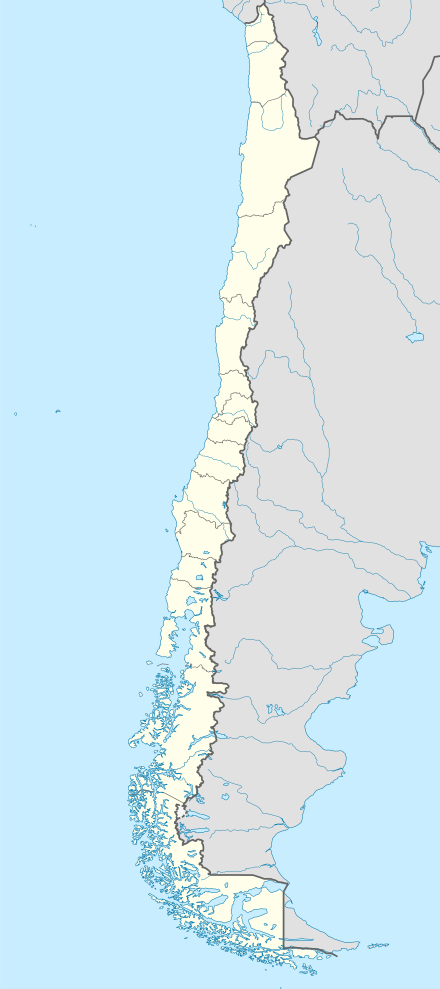
 SCAY Location of Ayacara Airport in Chile | |||||||||||
| Runways | |||||||||||
| |||||||||||
Ayacara Airport (Spanish: Aeropuerto de Ayacara, (ICAO: SCAY)) is an airport serving Ayacara (es), a coastal village in the Los Lagos Region of Chile.
The airport and village are on the Huequi Peninsula, at the end of Ayacara Cove, an inlet off the Gulf of Ancud. South approach and departures follow along the shoreline.
The Chaiten VOR-DME (Ident: TEN) is located 28.9 nautical miles (53.5 km) south of the airport.[4]
See also


- Transport in Chile
- List of airports in Chile
References
- ↑ Airport record for Ayacara Airport at Landings.com. Retrieved 2013-09-03
- ↑ Google (2013-09-03). "location of Ayacara Airport" (Map). Google Maps. Google. Retrieved 2013-09-03.
- ↑ SkyVector Ayacara Airport
- ↑ SkyVector Chaiten VOR
External links
- OpenStreetMap - Ayacara
- OurAirports - Ayacara
- FallingRain - Ayacara Airport
- Accident history for Ayacara Airport at Aviation Safety Network
This article is issued from
Wikipedia.
The text is licensed under Creative Commons - Attribution - Sharealike.
Additional terms may apply for the media files.