ash-Sheikh Sa'd
| ash-Sheikh Sa'd | |
|---|---|
| Other transcription(s) | |
| • Arabic | خربة الشيخ سعد |
 ash-Sheikh Sa'd Location of ash-Sheikh Sa'd within Palestine | |
| Coordinates: 31°44′22.27″N 35°15′10.12″E / 31.7395194°N 35.2528111°ECoordinates: 31°44′22.27″N 35°15′10.12″E / 31.7395194°N 35.2528111°E | |
| Governorate | Jerusalem |
| Government | |
| • Type | Village council |
| Population (2006) | |
| • Jurisdiction | 2,406 |
| Name meaning | Sheik Sad -from "fortunate"[1] |
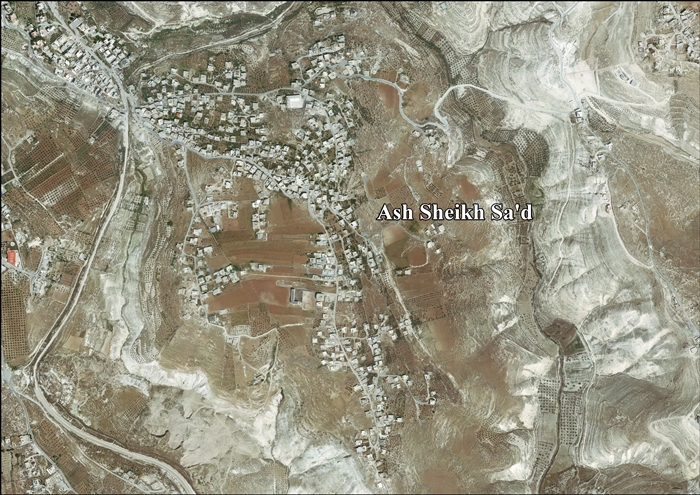
ash-Sheikh Sa'd (Arabic: خربة الشيخ سعد) is a Palestinian village in the Jerusalem Governorate, located 6 kilometers Southeast of Jerusalem in the central West Bank. According to the Palestinian Central Bureau of Statistics, the village had a population of 2,406 in 2006.[2]
The village's residents have family in Jabel Mukaber, an Arab neighborhood in East Jerusalem, and attend school there. Sheikh Sa'd's cemetery is located in the neighborhood as well. Since the Second Intifada in 2000, Sheikh Sa'd residents have not been allowed to enter Jabel Mukaber without a permit.[3]
Footnotes
- ↑ Palmer, 1881, p. 328
- ↑ Projected Mid -Year Population for Jerusalem Governorate by Locality 2004- 2006 Archived February 7, 2012, at the Wayback Machine. Palestinian Central Bureau of Statistics.
- ↑ Palestinian village torn from Jerusalem neighbours Reuters. 4 March 2007.
Bibliography
External links
- Welcome to al-Shaykh Sa'ad
- Ash-Sheikh Sa’d, Welcome to Palestine
- Survey of Western Palestine, Map 17: IAA, Wikimedia commons
- Ash Sheikh Sa'd village (fact sheet), Applied Research Institute–Jerusalem, ARIJ
- Ash Sheikh Sa'd village profile, ARIJ
- Ash Sheikh Sa'd aerial photo, ARIJ
- Locality Development Priorities and Needs in Ash Sheikh Sa'd, ARIJ

This article is issued from
Wikipedia.
The text is licensed under Creative Commons - Attribution - Sharealike.
Additional terms may apply for the media files.