Arly Airport
| Arly Airport | |||||||||||
|---|---|---|---|---|---|---|---|---|---|---|---|
| Summary | |||||||||||
| Airport type | Public | ||||||||||
| Serves | Arly | ||||||||||
| Location |
| ||||||||||
| Elevation AMSL | 761 ft / 232 m | ||||||||||
| Coordinates | 11°35′50.366″N 1°28′53.115″E / 11.59732389°N 1.48142083°ECoordinates: 11°35′50.366″N 1°28′53.115″E / 11.59732389°N 1.48142083°E | ||||||||||
| Map | |||||||||||
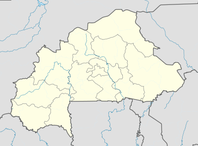 DFER Location of Arly Airport in Burkina Faso | |||||||||||
| Runways | |||||||||||
| |||||||||||
|
Source: Burkina Faso AIP[1] | |||||||||||
Arly Airport (IATA: ARL, ICAO: DFER) is a public use airport located near Arli National Park or Arly, Tapoa Province, Burkina Faso. While the runway outline is clearly visible, it appears overgrown with vegetation[2] and may be unusable. However, the airfield is still listed in the official ASECNA Aeronatical Information Publication for Burkina Faso[1] and has an official IATA 3-letter code,[3] though its 4-letter code does not appear to be recognised by ICAO[4]
See also
References
- 1 2 AIP entry retrieved 2017-05-24
- ↑ Google (2017-05-24). "location of Arly Airport" (Map). Google Maps. Google. Retrieved 2017-05-24.
- ↑ IATA code search accessed 2017-05-24
- ↑ ICAO location indicator search accessed 2017-05-24
External links
This article is issued from
Wikipedia.
The text is licensed under Creative Commons - Attribution - Sharealike.
Additional terms may apply for the media files.