Bogande Airport
| Bogandé Airport | |||||||||||
|---|---|---|---|---|---|---|---|---|---|---|---|
| Summary | |||||||||||
| Airport type | Public | ||||||||||
| Serves | Bogandé | ||||||||||
| Location |
| ||||||||||
| Elevation AMSL | 984 ft / 300 m | ||||||||||
| Coordinates | 12°58′53.165″N 000°09′45.407″W / 12.98143472°N 0.16261306°WCoordinates: 12°58′53.165″N 000°09′45.407″W / 12.98143472°N 0.16261306°W | ||||||||||
| Map | |||||||||||
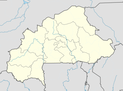 DFEB Location of Bogandé Airport in Burkina Faso | |||||||||||
| Runways | |||||||||||
| |||||||||||
Bogandé Airport (IATA: XBG, ICAO: DFEB) is a public use airport located near Bogandé, Gnagna, Burkina Faso.
The airport is listed as DFEB in the official ASECNA Aernautical Information Publication for Burkino Faso but a search of the ICAO database does not confirm its 4-letter ICAO location indicator code.[3]
See also
References
- ↑ Entry for Banfora Airport in ASECNA AIP Accessed 2017-05-26
- ↑ Google (2017-05-26). "location of Bogandé Airport" (Map). Google Maps. Google. Retrieved 2017-05-26.
- ↑ "API Data Service". www.icao.int. Retrieved 2018-08-20.
External links
This article is issued from
Wikipedia.
The text is licensed under Creative Commons - Attribution - Sharealike.
Additional terms may apply for the media files.