Pama Airport
| Pama Airport | |||||||||||
|---|---|---|---|---|---|---|---|---|---|---|---|
| Summary | |||||||||||
| Airport type | Public | ||||||||||
| Serves | Pama | ||||||||||
| Location |
| ||||||||||
| Elevation AMSL | 699 ft / 213 m | ||||||||||
| Coordinates | 11°15′18.8″N 0°41′53.6″E / 11.255222°N 0.698222°ECoordinates: 11°15′18.8″N 0°41′53.6″E / 11.255222°N 0.698222°E | ||||||||||
| Map | |||||||||||
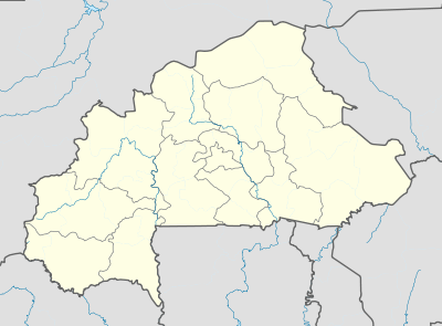 DFEP Location of Pama Airport in Burkina Faso | |||||||||||
| Runways | |||||||||||
| |||||||||||
Pama Airport (IATA: XPA, ICAO: DFEP) is a public use airport located near Pama, Kompienga Province, Burkina Faso.
See also
References
- ↑ Bing Maps - Pama
- ↑ Airport record for Pama Airport at Landings.com. Retrieved 2013-08-22
- ↑ Google (2013-08-22). "location of Pama Airport" (Map). Google Maps. Google. Retrieved 2013-08-22.
External links
- Airport record for Pama Airport at Landings.com
- OurAirports - Pama
This article is issued from
Wikipedia.
The text is licensed under Creative Commons - Attribution - Sharealike.
Additional terms may apply for the media files.