Arbury
| Arbury | |
|---|---|
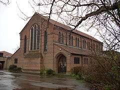 Church of the Good Shepherd | |
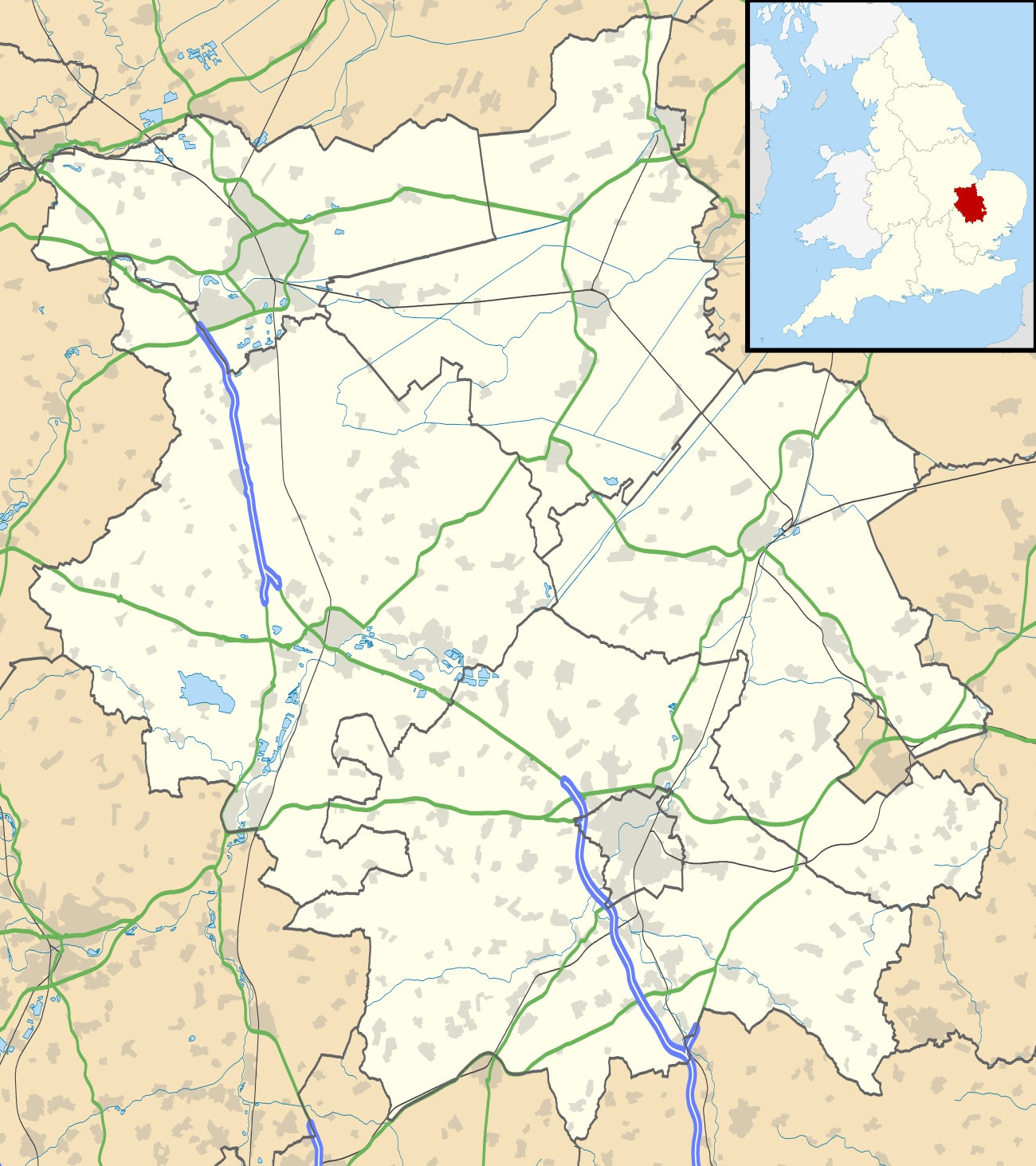 Arbury Arbury shown within Cambridgeshire | |
| OS grid reference | TL457611 |
| Shire county | |
| Region | |
| Country | England |
| Sovereign state | United Kingdom |
| Post town | CAMBRIDGE |
| Postcode district | CB4 |
| Dialling code | 01223 |
| Police | Cambridgeshire |
| Fire | Cambridgeshire |
| Ambulance | East of England |
| EU Parliament | East of England |
| UK Parliament | |
Arbury is a district and electoral ward of the city of Cambridge, England. The ward borders the following other wards (from North, proceeding clockwise): Histon, King's Hedges, West Chesterton, Market and Castle.
History
The area has been occupied since at least Roman times. In the 1950s, stone coffins from the 2nd century were discovered, as well as the remains of a Roman villa and mausoleum.[1] In medieval times, a decaying circular earthwork of unknown age was visible just to the north of where Arbury Road meets Histon Road (now part of Orchard Park) and was known as Hardburgh, Arborough or Arbury Camp. The earthwork was formerly around 100 metres in length, though its western half (extending into Impington) was no longer visible by the start of the 19th century.[2] It is thought to have been an undefended Iron Age enclosure to protect animals from predators.[3]
In medieval times, the area was common land, and local peasants were permitted to graze their sheep on the meadow between Lammas and Lady Day. In the 17th and 18th centuries the meadows were dug for earth to make bricks.[2]
Arbury was historically part of the parish of Chesterton and the parish of Impington. The area was developed by Cambridge City Council from 1957 as a housing estate of around 100 acres.[2]
Electoral ward boundaries have changed substantially over the years.[4] As a result, much of what was originally in Arbury Ward is now in Kings Hedges Ward, including the northern part of the original Arbury estate along with community facilities such as Arbury Community Centre[5] and Arbury Court.
Local life
The community is served by the Church of the Good Shepherd,[6] a red brick church designed by Stephen Dykes Bower. The chancel was built in 1958 and the nave in 1963-4. Opened in 1963, it became the parish church of its own parish in 1969. The Arbury community centre opened in 1974, which is also home to the Arbury Community Church.[2][7]
The Roman Catholic community of Arbury worship at St Laurence's church in Milton Road.
Arbury Court houses a post office, library, supermarket and other local shops. The Carlton Arms public house lies on Carlton Way,[8] which follows the route of the Roman Akeman Street. Crime rates are lower here than in many parts of central Cambridge.[9]
References
- ↑ "Arbury's Roman past revisited". University of Cambridge. 2007-04-28. Retrieved 2010-09-15.
- 1 2 3 4 A. P. M. Wright & C. P. Lewis (Editors) (1989). "A History of the County of Cambridge and the Isle of Ely: Volume 9: Chesterton, Northstowe, and Papworth Hundreds". Victoria County History.
- ↑ Sallie Purkis (1981). Arbury is where we live. EARO.
- ↑ Rosenstiel, Colin. "Wards at a glance". Archived from the original on 11 May 2012. Retrieved 13 January 2013.
- ↑ "Arbury Community Centre website". Retrieved 13 January 2013.
- ↑ http://www.churchofthegoodshepherd.co.uk/
- ↑ Arbury Community Church
- ↑ "Pub Review: Carlton Arms". ALE. CAMRA Cambridge branch (313). Spring 2004. Retrieved 28 August 2013.
- ↑ Police.uk crime map Archived August 9, 2011, at the Wayback Machine.