Antalieptė
| Antalieptė | ||
|---|---|---|
| Town | ||
 | ||
| ||
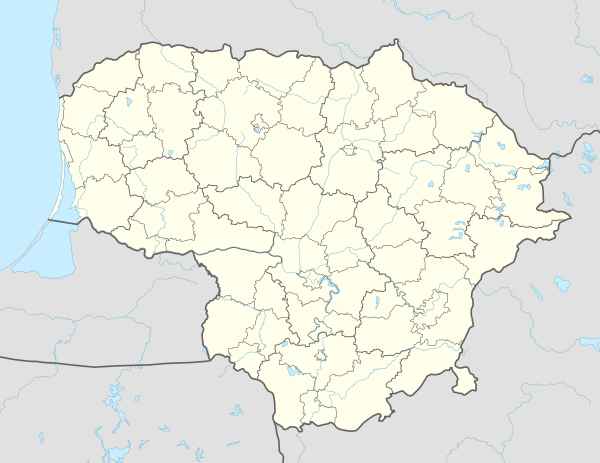 Antalieptė Location of Antalieptė, Lithuania | ||
| Coordinates: 55°39′40″N 25°52′01″E / 55.66111°N 25.86694°ECoordinates: 55°39′40″N 25°52′01″E / 55.66111°N 25.86694°E | ||
| Country | Lithuania | |
| Ethnographic region | Aukštaitija | |
| Town |
| |
| Municipality | Zarasai district municipality | |
| First mentioned | 1897 | |
| Population (2011) | ||
| • Total | 278 | |
| Time zone | UTC+2 (EET) | |
| • Summer (DST) | UTC+3 (EEST) | |
| Website | http://www.antaliepte.lt | |

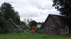
Antalieptė [anˈtaːlʲɛpteː] is a small town in Zarasai district municipality, near road Duseta–Daugailiai, on Šventoji riverhead, right coast.
Antalieptė has a main school, mail (LT-32013). In Šventoji valley there is Antalieptė Cross Discovery church, also there was Antalieptė barefoot carmelits monastery. Antalieptė has House of Culture, library (from 1941), water mill (built 1855 from broken and round rocks, red bricks and lime; mill was working until 1966).
History
According to the 1897 census, 85.5% of the population of the town was Jewish. The Jews immigrated before World War II or were murdered during the Holocaust in Nazi occupied Lithuania by both Germans and Lithuanians[1]. [2]
References
| Municipalities |  | |
|---|---|---|
| Cities | ||
| Towns | ||
| Villages | ||
This article is issued from
Wikipedia.
The text is licensed under Creative Commons - Attribution - Sharealike.
Additional terms may apply for the media files.