Alto Velo Island
 Alto Velo Island | |
| Geography | |
|---|---|
| Coordinates | 17°28′41.5″N 71°38′04.9″W / 17.478194°N 71.634694°WCoordinates: 17°28′41.5″N 71°38′04.9″W / 17.478194°N 71.634694°W |
| Area | 1 km2 (0.39 sq mi) |
| Administration | |
|
Dominican Republic | |
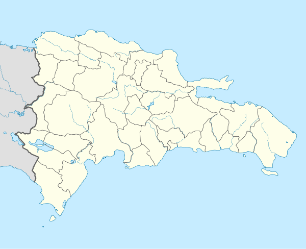
| Province | Pedernales Province |
| Demographics | |
| Population | 0 |
| Pop. density | 0 /km2 (0 /sq mi) |
| Location |
Isla Alto Velo Dominican Republic |
|---|---|
| Coordinates | 17°28′26.6″N 71°38′27.7″W / 17.474056°N 71.641028°W |
| Year first constructed | 1915 (first) |
| Deactivated | 1980s |
| Construction | concrete tower |
| Tower shape | quadrangular tower with balcony and lantern |
| Markings / pattern | white tower |
| Height | 20 metres (66 ft) |
| Focal height | 163 metres (535 ft) |
| Range | 13 nautical miles (24 km; 15 mi) |
| Characteristic | Fl (2) W 10s. |
| Admiralty number | J5482 |
| NGA number | 14388 |
| ARLHS number | DOM-007 |
| Managing agent | Parque Nacional Jaragua[1][2] |
Alto Velo Island is a small uninhabited island south of the island of Hispaniola in the Caribbean Sea. Its maximum height is about 152 metres above sea level.[3] It lies on an underwater mountain range which continues to Beata Island (about 12 km away, separated by the Alto Velo Channel) and the southwestern coast of the Dominican Republic. It has an area of 1.02 km²[4] and is 1.4 km long, being oval in shape.
It is located about 120-nautical-mile (220 km) southwest of Santo Domingo, and 40 nmi (74 km) south of Pedernales, making it the southernmost point of the Dominican Republic, a distinction sometimes claimed by Beata Island.
The island is part of the province of Pedernales in the Dominican Republic.
Alto Velo and Beata Islands belong to the Jaragua National Park,[5][6] the largest protected area in the Caribbean region.
The island was discovered by Christopher Columbus on his second voyage in 1494. The United States claimed the island, which had some strategic significance, in 1860 under the Guano Islands Act and as of 2017, it has never renounced the claim.
See also
References
- ↑ Dominican Republic The Lighthouse Directory. University of North Carolina at Chapel Hill. Retrieved 8 September 2016
- ↑ List of Lights, Buoys and Fog Signals Atlantic Coast. Retrieved 8 September 2016
- ↑ Mi Pais Geografia. "Isla Alto Velo" (in Spanish). Retrieved 2010-09-24.
- ↑ BirdLife IBA Factsheet DO007: Jaragua National Park
- ↑ The Nature Conservancy. "Parque Nacional Jaragua" (in Spanish). Archived from the original on 2010-02-20. Retrieved 2010-09-24.
- ↑ Cervantes Virtual. "Colon abandona la busqueda del paso" (PDF) (in Spanish). Retrieved 2010-09-24.
Further reading
- Messamore, Ford W.; Johnson, Andrew (1943). Alta Vela: A Forgotten Isle of the Caribbean. The Lycoming Press.
- "Alto Velo Island. Report of the Secretary of State on the Claim of Patterson and Murguiendo, with a Further Argument of the Claimants". United States Department of State. 1868.