Alacalufes National Reserve
| Alacalufes National Reserve | |
|---|---|
|
IUCN category IV (habitat/species management area) | |
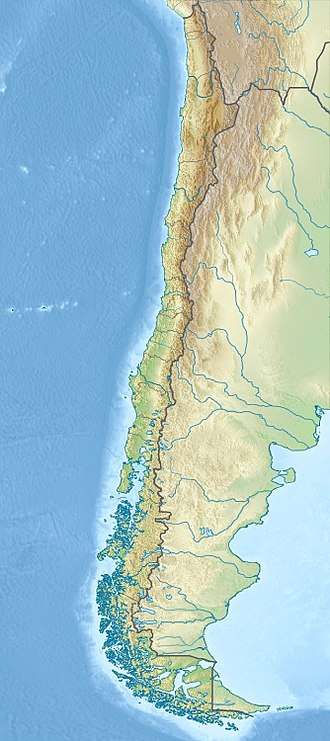 Map of Chile | |
| Location | from Canal Concepción to Chilean Sea through Strait of Magellan, Chile |
| Coordinates | 51°51′S 74°19′W / 51.85°S 74.32°WCoordinates: 51°51′S 74°19′W / 51.85°S 74.32°W (barycenter)[1] |
| Area | 2,313,875 ha (5,717,710 acres)[2] |
| Established | July 22, 1969[3] |
| Visitors | 1,742[4] (in 2016) |
| Governing body | Corporación Nacional Forestal |
Alacalufes National Reserve (Spanish: Reserva Nacional Alacalufes) is located between Canal Concepción and Chilean Sea, on both sides of Strait of Magellan in Chile. It is composed of western archipelagos; its landscape is filled with low mountain-like islands and islets, lots of channels and fjords. It was created in 1969 with an area of 2,313,875 hectares (5,717,710 acres).[2]
There are two types of weather within the reserve: "high humidity, mild cold" and, "Isothermal tundra", with a mean temperature of 7.2 °C (45.0 °F) and 6.5 °C (43.7 °F), respectively. Rainfall can reach up to 2,450 mm (96 in) per year.
Vegetation is made up of coastal grasslands and thickets, formations of Coihue and Sphagnum; while fauna is composed of several birds and mammals.
Its area covers parts of two out of the four provinces of Magallanes and Chilean Antártica Region: Magallanes Province and Última Esperanza Province.
Notes
- ↑ "Alacalufes National Reserve". protectedplanet.net.
- 1 2 "National Parks of Chile". CONAF. Retrieved 2 April 2017.
- ↑ "Alacalufes National Reserve". CONAF. Retrieved 2 April 2017.
- ↑ "Visitor Statistics" (PDF). National Forest Corporation (Chile). 31 January 2017. p. 3. Retrieved 2 April 2017.
References
- "Capítulo IV: El Uso de los Recursos Naturales en el Desarrollo de la Region, El Magallanes de antaño" (PDF) (in Spanish). Comisión Nacional de Medio Ambiente (CONAMA). Retrieved 2 April 2017.