Ainpur
| Ainpur | |
|---|---|
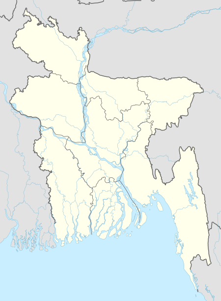
 Ainpur Location in Bangladesh | |
| Coordinates: 23°24′N 90°53′E / 23.400°N 90.883°ECoordinates: 23°24′N 90°53′E / 23.400°N 90.883°E | |
| Country |
|
| Division | Chittagong Division |
| District | Chandpur District |
| Time zone | UTC+6 (Bangladesh Time) |
| Area code(s) | 3450 to 4750 |
Ainpur is a village in Kachua Upazila of Chandpur District in the Chittagong Division of eastern Bangladesh. It is about 59 kilometres (37 mi) south-east of Dhaka, the country's capital. The closest airport is Comilla Airiport Airport (IATA: CLA, ICAO: VGCM), 32.9 kilometres (20.4 mi) east of the city centre of Ainpur.[1][2]
References
- ↑ "NGA GeoNames Database". National Geospatial-Intelligence Agency. Retrieved 2008-07-14.
- ↑ "Ainpur Destination Guide". Retrieved 2014-08-01.
This article is issued from
Wikipedia.
The text is licensed under Creative Commons - Attribution - Sharealike.
Additional terms may apply for the media files.