Agios Andronikos (Topçuköy)
| Agios Andronikos | |
|---|---|
 Agios Andronikos | |
| Coordinates: 35°20′22″N 33°52′20″E / 35.33944°N 33.87222°ECoordinates: 35°20′22″N 33°52′20″E / 35.33944°N 33.87222°E | |
| Country |
|
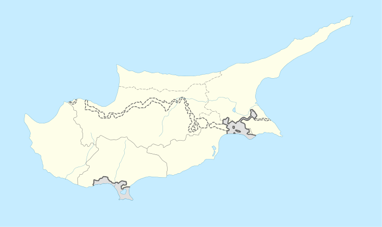
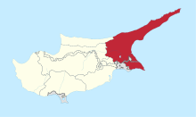
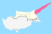
| • District | Famagusta District |
| Country (controlled by) |
|
| • District | İskele District |
| Population (2011)[1] | |
| • Total | 310 |
| Climate | Csa |
Agios Andronikos (Greek: Άγιος Ανδρόνικος "Saint Andronicus" or [το] Άγιον Ανδρονικούδι (diminutive of Andronikos, used in distinguishing it from Agios Andronikos); Turkish: Topçuköy "village of cannoneers") is a Turkish Cypriot[2] village in Cyprus, located 7 km north of Trikomo. It is under the de facto control of Northern Cyprus.
References
- ↑ "KKTC 2011 Nüfus ve Konut Sayımı" [TRNC 2011 Population and Housing Census] (PDF) (in Turkish). TRNC State Planning Organization. 6 August 2013. Archived from the original (PDF) on 6 November 2013.
- ↑ "AGIOS ANDRONIKOS". Internal displacement in Cyprus. PRIO Cyprus Centre. Retrieved 26 November 2014.
This article is issued from
Wikipedia.
The text is licensed under Creative Commons - Attribution - Sharealike.
Additional terms may apply for the media files.