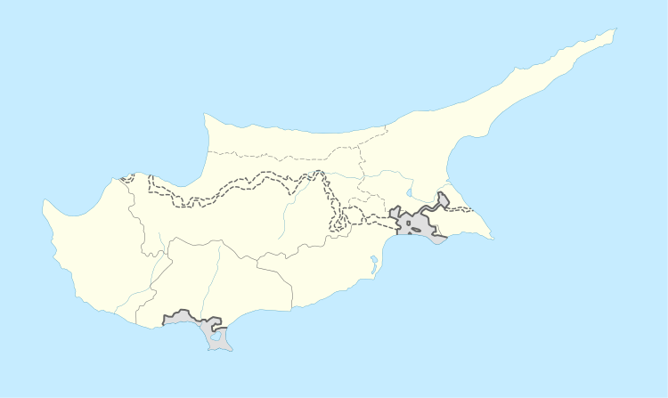
Acheritou
| Acheritou | |
|---|---|
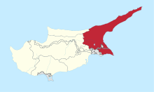
 Acheritou Location in Cyprus | |
| Coordinates: 35°6′2″N 33°51′38″E / 35.10056°N 33.86056°ECoordinates: 35°6′2″N 33°51′38″E / 35.10056°N 33.86056°E | |
| Country |
|
| • District | Famagusta District |
| Country (controlled by) |
|
| • District | Gazimağusa District |
| Population (2011)[1] | |
| • Total | 911 |
| Time zone | UTC+2 (EET) |
| • Summer (DST) | UTC+3 (EEST) |
Acheritou (Greek: Αχερίτου [locally [aʃeˈɾitu]]; Turkish: Güvercinlik) is a village in Cyprus, located just to the west of the Agios Nikolaos section of Dhekelia SBA. De facto, it is part of Northern Cyprus. In 2011, its population was 911.
References
- ↑ "Northern Cyprus 2011 Nüfus ve Konut Sayımı" [Northern Cyprus 2011 Population and Housing Census] (PDF). Northern Cyprus State Planning Organization. 6 August 2013. Archived from the original (PDF) on 6 November 2013.
This article is issued from
Wikipedia.
The text is licensed under Creative Commons - Attribution - Sharealike.
Additional terms may apply for the media files.