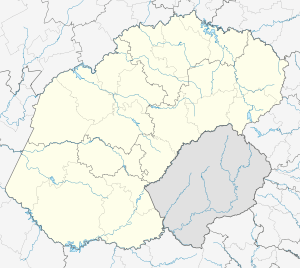
Aberfeldy, Free State
| Aberfeldy | |
|---|---|
 Aberfeldy  Aberfeldy Aberfeldy (South Africa)  Aberfeldy Aberfeldy (Africa) | |
| Coordinates: 28°12′54″S 28°49′30″E / 28.215°S 28.825°ECoordinates: 28°12′54″S 28°49′30″E / 28.215°S 28.825°E | |
| Country | South Africa |
| Province | Free State |
| District | Thabo Mofutsanyane |
| Municipality | Maluti-a-Phofung |
| Time zone | UTC+2 (SAST) |
Aberfeldy is a small settlement near Phuthaditjhaba, surrounded by agricultural land and game farms.[1]
The farm Aberfeldy in the Orange Free State had a post office known as Elandsrivierbrug; when the railway reached the farm in 1902 the new Orange River Colony administration preferred "Aberfeldy", Scottish in origin, to the previous Afrikaans name. By 1905 the post office name was Anglicised into Elands River Bridge.[2]
References
- ↑ "Towns included in the". Grasslands Meander. Archived from the original on 2013-07-23. Retrieved 29 August 2014.
- ↑ African Research & Documentation. African Studies Association of the UK. 2000. p. 51.
This article is issued from
Wikipedia.
The text is licensed under Creative Commons - Attribution - Sharealike.
Additional terms may apply for the media files.
.svg.png)