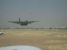
Abéché Airport
| Abéché Airport مطار أبشي | |||||||||||
|---|---|---|---|---|---|---|---|---|---|---|---|
 | |||||||||||
| Summary | |||||||||||
| Airport type | Public | ||||||||||
| Operator | Government | ||||||||||
| Serves | Abéché, Chad | ||||||||||
| Elevation AMSL | 1,788 ft / 545 m | ||||||||||
| Coordinates | 13°50′49″N 020°50′39″E / 13.84694°N 20.84417°ECoordinates: 13°50′49″N 020°50′39″E / 13.84694°N 20.84417°E | ||||||||||
| Map | |||||||||||
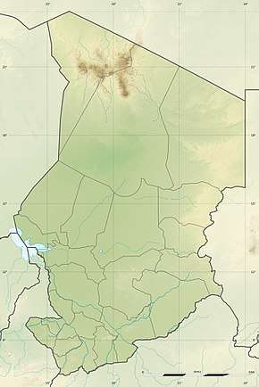 FTTC Location of airport in Chad | |||||||||||
| Runways | |||||||||||
| |||||||||||
Abéché Airport (IATA: AEH, ICAO: FTTC) is an airport serving Abéché, the fourth largest city in Chad and the capital city of Chad's Ouaddaï Region.
Facilities
The airport resides at an elevation of 1,788 feet (545 m) above mean sea level. It has one runway designated 09/27 with an asphalt surface measuring 2,800 by 30 metres (9,186 ft × 98 ft).[1]
Airlines and destinations
The following airlines offer scheduled passenger service:
| Airlines | Destinations |
|---|---|
| Tchadia Airlines | N'Djamena,[3] Faya-Largeau[3] |
References
- 1 2 Airport information for FTTC from DAFIF (effective October 2006)
- ↑ Airport information for AEH at Great Circle Mapper. Source: DAFIF (effective October 2006).
- 1 2 "Tchadia Airlines outlines planned network from Oct 2018". routesonline.com. Retrieved 26 September 2018.
External links
This article is issued from
Wikipedia.
The text is licensed under Creative Commons - Attribution - Sharealike.
Additional terms may apply for the media files.