Abbey, Bath
Abbey is the electoral ward covering the centre of Bath, England.
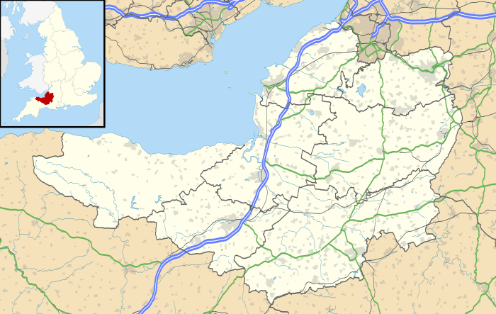
Abbey is rarely used as the name of an area of Bath, and is primarily used just for electoral purposes within the Bath and North East Somerset unitary authority, electing two councillors.[1]
St John's Catholic Primary School is located on the eastern edge of the ward.[2]
The electoral wards surrounding the ward are: Lansdown and Walcot to the north, Bathwick to the east, Widcombe to the south, and Kingsmead to the west.[3]
Notable places
Some notable places within the ward are:
References
- ↑ "The Avon (Structural Change) Order 1995". legislation.gov.uk. The National Archives. Retrieved 19 March 2011.
- ↑ "St John's Catholic Primary School". St John's Catholic Primary School. Archived from the original on 12 August 2011. Retrieved 23 March 2011.
- ↑ "Ward Maps". Bath & North East Somerset Council. Archived from the original on 3 April 2011. Retrieved 10 March 2011.
External links
- Bath & North East Somerset Council: Abbey ward, Openly Local
- Ward Profile - Abbey, Bath and North East Somerset
- Election results for Abbey, 3 May 2007, Bath and North East Somerset
This article is issued from
Wikipedia.
The text is licensed under Creative Commons - Attribution - Sharealike.
Additional terms may apply for the media files.