2014 Mexico–Guatemala earthquake
 | |
| UTC time | 2014-07-07 11:23:54 |
|---|---|
| ISC event | 610571023 |
| USGS-ANSS | ComCat |
| Local date | July 7, 2014 |
| Local time | 05:23:54 |
| Magnitude | 6.9 Mw |
| Depth | 53 km (33 mi) |
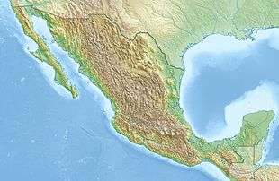
| Epicenter | 14°43′N 92°28′W / 14.72°N 92.46°WCoordinates: 14°43′N 92°28′W / 14.72°N 92.46°W |
| Type | Dip-slip |
| Areas affected |
Mexico Guatemala |
| Max. intensity | VIII (Severe) |
| Landslides | Yes [1] |
| Casualties | 5 dead, 12 injured [1] |
The 2014 Mexico–Guatemala earthquake struck 4 km (2.5 mi) west of Puerto Madero on July 7 at 05:23:54. The shock had a moment magnitude of 6.9 and a maximum Mercalli intensity of VIII (Severe).[2] Collapsed buildings and a heart attack resulted in the deaths of five people and another 12 were injured.[1]
See also
References
External links
- The International Seismological Centre has a bibliography and/or authoritative data for this event.
This article is issued from
Wikipedia.
The text is licensed under Creative Commons - Attribution - Sharealike.
Additional terms may apply for the media files.