Žlibinai eldership
| Žlibinai eldership Žlibinų seniūnija | |
|---|---|
| Eldership | |
.png) Location in the Plungė District Municipality | |
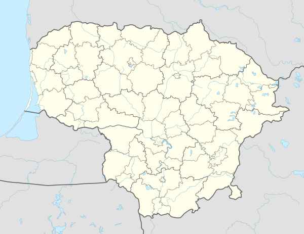 Žlibinai eldership Location in Lithuania | |
| Coordinates: 55°53′N 22°3′E / 55.883°N 22.050°ECoordinates: 55°53′N 22°3′E / 55.883°N 22.050°E | |
| Country |
|
| County | Telšiai County |
| Municipality | Plungė District Municipality |
| Seat | Žlibinai |
| Area[1] | |
| • Total | 140.34 km2 (54.19 sq mi) |
| Population (2011)[2] | |
| • Total | 1,413 |
| • Density | 10/km2 (26/sq mi) |
| Time zone | UTC+2 (EET) |
| • Summer (DST) | UTC+3 (EEST) |
Žlibinai eldership (Lithuanian: Žlibinų seniūnija) is an eldership in Plungė District Municipality to the east from Plungė. The administrative center is Žlibinai.
Largest villages
- Kantaučiai
- Žlibinai
- Keturakiai
- Purvaičiai
- Kapsūdžiai
Other villages
- Abokai
- Bernotavas
- Drūkčiai
- Gaižupiai
- Jėrubaičiai (a part of village)
- Kalniškiai (no inhabitants)
- Kepurėnai
- Liekniai
- Marciai
- Medingėnai
- Naručiai (no inhabitants)
- Rimučiai (no inhabitants)
- Sausdravėnai
- Saušilis
- Smilgiai
- Šarkiai (no inhabitants)
- Šašaičiai
- Varnaičiai
- Vydeikiai
- Vilkaičiai
- Zalepūgai
- Žvirzdaliai
References
- ↑ "Žlibinų seniūnija". Plungė District Municipality. 2012-01-23. Retrieved 2014-06-16.
- ↑ Results of the 2011 Population and Housing Census of the Republic of Lithuania (PDF). Statistics Lithuania. 2013. p. 578. ISBN 978-9955-797-19-7.
This article is issued from
Wikipedia.
The text is licensed under Creative Commons - Attribution - Sharealike.
Additional terms may apply for the media files.