Šateikiai eldership
| Šateikiai eldership Šateikių seniūnija | |
|---|---|
| Eldership | |
.png) Location in the Plungė District Municipality | |
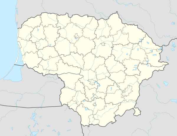 Šateikiai eldership Location in Lithuania | |
| Coordinates: 55°57′N 21°40′E / 55.950°N 21.667°ECoordinates: 55°57′N 21°40′E / 55.950°N 21.667°E | |
| Country |
|
| County | Telšiai County |
| Municipality | Plungė District Municipality |
| Seat | Šateikiai |
| Area[1] | |
| • Total | 133.6 km2 (51.6 sq mi) |
| Population (2011)[2] | |
| • Total | 2,233 |
| • Density | 17/km2 (43/sq mi) |
| Time zone | UTC+2 (EET) |
| • Summer (DST) | UTC+3 (EEST) |
Šateikiai eldership (Lithuanian: Šateikių seniūnija) is an eldership in Plungė District Municipality to the west from Plungė. The administrative center is Šateikiai.
Largest villages
- Šateikiai
- Narvaišiai
- Aleksandravas
- Kadaičiai
- Papieviai
- Alksnėnai
- Vydeikiai
- Sėleniai
Other villages
- Baltmiškiai
- Bučniai
- Bulikai (no inhabitants)
- Burbaičiai
- Dyburiai
- Godeliai
- Liepgiriai
- Mamiai
- Mišėnai
- Pakutuvėnai
- Palūščiai
- Vaitkiai
References
- ↑ "Šateikių seniūnija". Plungė District Municipality. 2012-01-23. Retrieved 2014-06-16.
- ↑ Results of the 2011 Population and Housing Census of the Republic of Lithuania (PDF). Statistics Lithuania. 2013. p. 578. ISBN 978-9955-797-19-7.
This article is issued from
Wikipedia.
The text is licensed under Creative Commons - Attribution - Sharealike.
Additional terms may apply for the media files.