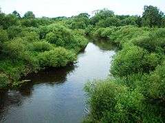
Šešupė
| Šešupė | |
|---|---|
.png) Map of the Šešupė river | |
| Country | Lithuania, Poland, Russia |
| Physical characteristics | |
| Main source | 18 km north of Suwałki |
| River mouth |
Neman near Neman town 55°03′15″N 22°12′01″E / 55.05417°N 22.20028°ECoordinates: 55°03′15″N 22°12′01″E / 55.05417°N 22.20028°E |
| Length | 298 km (185 mi) |
| Discharge |
|
| Basin features | |
| Progression | Neman→ Baltic Sea |
| Basin size | 6,105 km2 (2,357 sq mi) |
The Šešupė (![]()
Major towns and cities along the river, from the Nemunas to the source, are: Kudirkos Naumiestis, Pilviškiai, Marijampolė and Kalvarija.
There are parts of Kaliningrad and Lithuania that are on the opposite side of the river, including a small island that is mostly Russian but has an area belonging to Lithuania.
It is the fourth-longest river in Lithuania.[1]
References
Tributaries of the Neman River | ||
|---|---|---|
| Main tributaries of the left bank |
|  |
| Main tributaries of the right bank | ||
| Distributary |
| |