Turnpike Lane
Turnpike Lane is een gebied in het Londense bestuurlijke gebied Haringey, in de regio Groot-Londen.

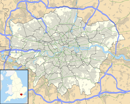
Turnpike Lane in 2010
Geplaatst op: 09-07-2007 |
Dit artikel is een beginnetje over landen & volken. U wordt uitgenodigd om op bewerken te klikken om uw kennis aan dit artikel toe te voegen. |
| Plaats in Engeland | |||
 | |||
| Situering | |||
| Regio | London | ||
| Borough | Haringey | ||
| Coördinaten | 51° 35' NB, 0° 6' WL | ||
| Overig | |||
| Postcode(s) | N8 | ||
| Netnummer(s) | 020 | ||
| Grid code | TQ305905 | ||
| Post town | LONDON | ||
| |||
This article is issued from
Wikipedia.
The text is licensed under Creative
Commons - Attribution - Sharealike.
Additional terms may apply for the media files.