Totton and Eling
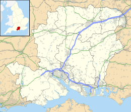
Totton and Eling is een civil parish in het bestuurlijke gebied New Forest, in het Engelse graafschap Hampshire. De plaats telt 28.970 inwoners en ligt ten westen van Southampton.
| Zie de categorie Totton and Eling van Wikimedia Commons voor mediabestanden over dit onderwerp. |
Geplaatst op: 15-07-2007 |
Dit artikel is een beginnetje over landen & volken. U wordt uitgenodigd om op bewerken te klikken om uw kennis aan dit artikel toe te voegen. |
| Civil parish in Engeland | |||
 | |||
| Situering | |||
| Regio | South East England | ||
| Graafschap | Hampshire | ||
| District | New Forest | ||
| Coördinaten | 50° 55' NB, 1° 29' WL | ||
| Algemeen | |||
| Oppervlakte | 11,8564 km² | ||
| Inwoners (2011) | 28970 (2443 inw./km²) | ||
| Overig | |||
| Postcode(s) | SO40 | ||
| Netnummer(s) | 023 | ||
| Grid code | SU362131 | ||
| Post town | SOUTHAMPTON | ||
| ONS-code | E04004587 | ||
| Foto's | |||
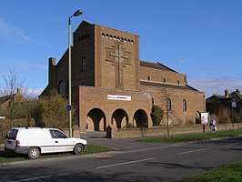 | |||
| Kerk van St Winfrid in Totton | |||
| |||
This article is issued from
Wikipedia.
The text is licensed under Creative
Commons - Attribution - Sharealike.
Additional terms may apply for the media files.