Ramotshere Moiloa
Ramotshere Moiloa (officieel Ramotshere Moiloa Local Municipality; vroeger: Zeerust) is een gemeente in het Zuid-Afrikaanse district Ngaka Modiri Molema District Municipality. Ramotshere Moiloa ligt in de provincie Noordwest en telt 150.713 inwoners[1].
Gemeente in Zuid-Afrika | |||
 | |||
.svg.png) | |||
| Situering | |||
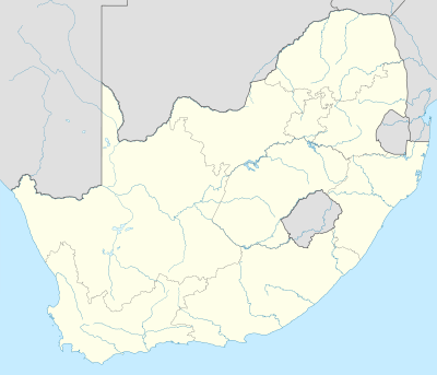
| Provincie | Noordwest | ||
| District | Ngaka Modiri Molema District Municipality | ||
| Coördinaten | 25° 31′ ZB, 26° 4′ OL | ||
| Algemeen | |||
| Oppervlakte | 7194 km² | ||
| Inwoners (2011) | 150.713 (21 inw./km²) | ||
| Etniciteit[1] | 94% Zwart 1% Kleurling 1% Indisch of Aziatisch 4% Blank | ||
| Talen[1] | 4% Afrikaans 4% Engels 1% Zuid-Ndebele 1% Xhosa 1% Zoeloe 85% Tswana | ||
| Burgemeester | A. N. Thale | ||
| Website | ramotshere.gov.za | ||
| |||
Hoofdplaatsen
Het nationaal instituut voor de statistiek, Stats SA, deelt sinds de census 2011 deze gemeente in in 38 zogenaamde hoofdplaatsen (main place)[1]:
Borakalalo • Borothamadi • Dinokana • Doornlaagte • Driefontein • GaSeane • Gopane • Groot Marico • Ikageleng • Khunotswana • KwaNtsweng • Lehurutshe • Lekgophung • Lekubung • Lobatleng • Madutle • Makgwaphana • Mantsie • Maphepane • Maramage • Marico-Bosveld Nature Reserve • Maroelakop • Masebudule • Matlhase • Mokgola • Moshana • Mosweu • Ntsweletsoku • Nyetse • Pachsdraai • Pienaar • Ramotshere Moiloa NU • Reagile • Rodikhudu • Skilpadhek • Supingstad • Swartfontein • Zeerust.
Zie ook
Yes Media, The Local Government Handbook – South Africa, Ramotshere Moiloa.
| Bronnen, noten en/of referenties |
Geplaatst op: 12-07-2008 |
Dit artikel is een beginnetje over landen & volken. U wordt uitgenodigd om op bewerken te klikken om uw kennis aan dit artikel toe te voegen. |