Moretele
Moretele (officieel Moretele Local Municipality) is een gemeente in het Zuid-Afrikaanse district Bojanala. Moretele ligt in de provincie Noordwest en telt 186.947 inwoners[1].
Gemeente in Zuid-Afrika | |||
 | |||
.svg.png) | |||
| Situering | |||
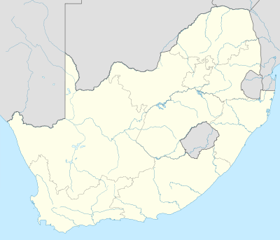
| Provincie | Noordwest | ||
| District | Bojanala | ||
| Coördinaten | 25° 9′ ZB, 27° 58′ OL | ||
| Algemeen | |||
| Oppervlakte | 1379 km² | ||
| Inwoners (2011) | 186.947 (136 inw./km²) | ||
| Etniciteit[1] | 99,4% Zwart | ||
| Talen[1] | 1% Engels 4% Zuid-Ndebele 1% Xhosa 4% Zoeloe 14% Noord-Sotho 3% Zuid-Sotho 52% Tswana 1% Swazi 1% Venda 18% Tsonga | ||
| Burgemeester | Jonas Lehare | ||
| Website | moretele.local.gov.za/ | ||
| |||
Hoofdplaatsen
Het nationaal instituut voor de statistiek, Stats SA, deelt sinds de census 2011 deze gemeente in in 64 zogenaamde hoofdplaatsen (main place)[1]:
Agisaneng • Bolantlokwe • Bosplaas • Carousel View • Dannhouse • De Grens • Dertig • Dihibidung • Dikebu • Dikgopaneng • Dipetlelwane • Ga-Habedi • Ga-Monama • Green Side • Hani View • Jambo • Jonathan • Kgomo-Kgomo • Kontante • Kromkuil • Lebalangwe • Lebotlwane • Lekgolo • Little • Makapanstad • Mathibestad • Mmakaunyana • Mmathlwaela • Mmotla • Mmukubyane • Moeka • Moema • Mogogelo • Mogohlwaneng • Moretele • Moretele NU • Motsheko • Ngobi • Norokie • Olverton • One and Ten • Opperman • Papatso • Potoane • Prieska • Rabosula • Ramaphosa • Ratjiepane • Ruigtesloot • Selepe • Sespond • Slagboom • Swartboom • Swartdamstad • Syferskuil • The Carousel Casino and Entertainment World • Thulwe • Tladistad • Tlholwe • Tlounane • Transaksie • Tshwene Farm • Utsane • Walman.
Zie ook
Yes Media, The Local Government Handbook – South Africa, Moretele.
| Bronnen, noten en/of referenties |
Geplaatst op: 12-07-2008 |
Dit artikel is een beginnetje over landen & volken. U wordt uitgenodigd om op bewerken te klikken om uw kennis aan dit artikel toe te voegen. |