Itaporã
Itaporã is een gemeente in de Braziliaanse deelstaat Mato Grosso do Sul. De gemeente telt 19.390 inwoners (schatting 2009).
Gemeente in Brazilië | |||
| |||
 | |||
| Situering | |||
| Regio | Centraal-West | ||
| Staat | Mato Grosso do Sul | ||
| Mesoregio | Sudoeste de Mato Grosso do Sul | ||
| Microregio | Dourados | ||
| Coördinaten | 22° 5′ ZB, 54° 47′ WL | ||
| Algemeen | |||
| Oppervlakte | 1.322,003 km² | ||
| Inwoners (2009) | 19.390 (13,5 inw./km²) | ||
| Hoogte | 390 m | ||
| Gemeentenummer | 5004502 | ||
| Politiek | |||
| Burgemeester | Marcos Antonio Pacco | ||
| Gesticht | 10 december 1953 | ||
| Overig | |||
| Tijdzone | UTC−4 | ||
| HDI | 0,712 | ||
| Website | itapora.ms.gov.br | ||
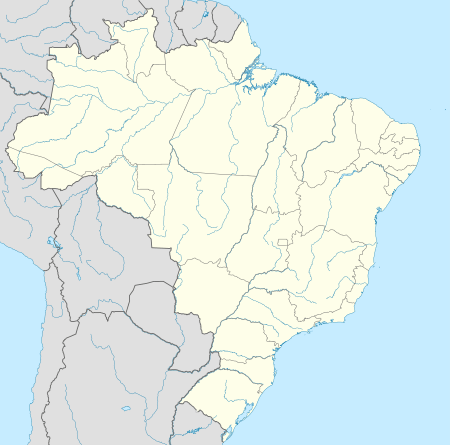
Detailkaart | |||
 | |||
| Locatie van Itaporã in de staat Mato Grosso do Sul | |||
| |||


De gemeente grenst aan Dourados, Douradina, Maracajú en Rio Brilhante.
| Bronnen, noten en/of referenties |
This article is issued from
Wikipedia.
The text is licensed under Creative
Commons - Attribution - Sharealike.
Additional terms may apply for the media files.