Groter Taung
Groter Taung (Afrikaans:Groter Taung Plaaslike Munisipaliteit; Engels: Greater Taung Local Municipality) is een gemeente in het Zuid-Afrikaanse district Dr Ruth Segomotsi Mompati. Groter Taung ligt in de provincie Noordwest en telt 177.642 inwoners[1].
Gemeente in Zuid-Afrika | |||
 | |||
.svg.png) | |||
| Situering | |||
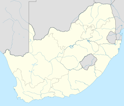
| Provincie | Noordwest | ||
| District | Bophirima | ||
| Coördinaten | 27° 31′ ZB, 24° 46′ OL | ||
| Algemeen | |||
| Oppervlakte | 5636 km² | ||
| Inwoners (2011) | 177.642 (32 inw./km²) | ||
| Etniciteit[1] | 98% Zwart 1% Kleurling | ||
| Talen[1] | 1% Afrikaans 2% Engels 1% Zuid-Ndebele 2% Xhosa 1% Zoeloe 2% Zuid-Sotho 90% Tswana | ||
| Burgemeester | Kaone Lobelo | ||
| |||
Hoofdplaatsen
Het nationaal instituut voor de statistiek, Stats SA, deelt sinds de census 2011 deze gemeente in in 66 zogenaamde hoofdplaatsen (main place)[1]:
Boipelo • Choseng • Dikhuting • Dry Harts • Gamokuane • Gataote • Graspan • Greater Taung NU • Kameelputs • Kgomotso • Khaukhwe • Khudutlou • Kokomeng • Leshobo • Longaneng • Losasaneng • Loselong • Lower Majeakgoro • Madipelesa • Madithamage • Maganeng • Magogong • Mamashokwane • Mammutla • Manokwane • Manthathabe • Manthe • Maphoitsile • Matlapaneng • Matolong • Matshelapane • Matsheng • Mhole • Modimong • Modutung • Mogopela • Mokasa • Mokgareng • Molelema • Moretele • Morokweng A • Motakaneng • Mothanthanyaneng • Motsweding • Myra • Norlim • Ntswanahatshe • Pampierstad • Pitsong • Pudimoe • Pudumoe • Rietfontein • Rooiwal • Sekhing • Seoding • Shaleng • Tabasikwa • Taung • Thomeng • Thota Ya Tau • Tlapeng A • Tlapeng B • Tobias • Tsokonyane • Upper Majeakgoro • Xhonyane.
Externe link
| Bronnen, noten en/of referenties |
Geplaatst op: 12-07-2008 |
Dit artikel is een beginnetje over landen & volken. U wordt uitgenodigd om op bewerken te klikken om uw kennis aan dit artikel toe te voegen. |