Camapuã
Camapuã is een gemeente in de Braziliaanse deelstaat Mato Grosso do Sul. De gemeente telt 13.532 inwoners (schatting 2009).
Gemeente in Brazilië | |||
| |||
 | |||
| Situering | |||
| Regio | Centraal-West | ||
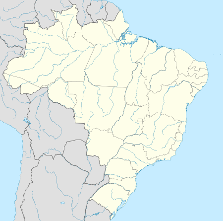
| Staat | Mato Grosso do Sul | ||
| Mesoregio | Centro-Norte de Mato Grosso do Sul | ||
| Microregio | Alto Taquari | ||
| Coördinaten | 19° 32′ ZB, 54° 3′ WL | ||
| Algemeen | |||
| Oppervlakte | 10.758,432 km² | ||
| Inwoners (2009) | 13.532 (1,3 inw./km²) | ||
| Hoogte | 409 m | ||
| Gemeentenummer | 5002605 | ||
| Politiek | |||
| Burgemeester | Marcelo Duailibi | ||
| Gesticht | 1948 | ||
| Overig | |||
| Tijdzone | UTC−4 | ||
| HDI | 0,761 | ||
| Website | camapua.ms.gov.br | ||
Detailkaart | |||
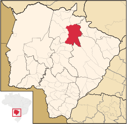 | |||
| Locatie van Camapuã in de staat Mato Grosso do Sul | |||
| |||


Verkeer en vervoer
De plaats ligt aan de radiale snelweg BR-060 tussen Brasilia en Bela Vista. Daarnaast ligt ze aan de wegen MS-142, MS-338 en MS-422.
Galerij
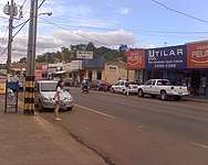 Rua Pedro Celestino
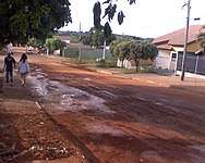 Rua Bonfim
| Bronnen, noten en/of referenties |
This article is issued from
Wikipedia.
The text is licensed under Creative
Commons - Attribution - Sharealike.
Additional terms may apply for the media files.