Ba-Phalaborwa
Ba-Phalaborwa (officieel Ba-Phalaborwa Local Municipality) is een gemeente in het Zuid-Afrikaanse district Mopani. Ba-Phalaborwa ligt in de provincie Limpopo en telt 150.637 inwoners[1].
Gemeente in Zuid-Afrika | |||
 | |||
.svg.png) | |||
| Situering | |||
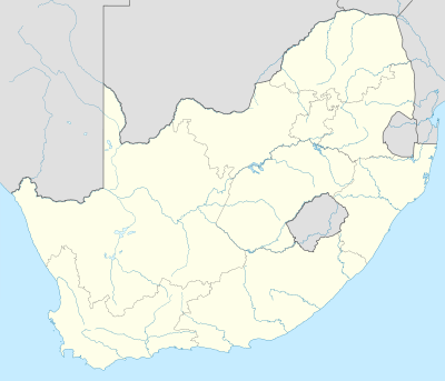
| Provincie | Limpopo | ||
| District | Mopani | ||
| Coördinaten | 23° 59′ ZB, 30° 32′ OL | ||
| Algemeen | |||
| Oppervlakte | 7462 km² | ||
| Inwoners (2011) | 150.637 (20 inw./km²) | ||
| Etniciteit[1] | 93% Zwart 6% Blank | ||
| Talen[1] | 47% Tsonga 37% Noord-Sotho 5% Afrikaans 3% Zuid-Sotho 2% Engels 1% Zoeloe 1% Swazi 1% Venda | ||
| Website | ba-phalaborwa.gov.za | ||
| |||
Hoofdplaatsen
Het nationaal instituut voor de statistiek, Stats SA, deelt sinds de census 2011 deze gemeente in in 17 zogenaamde hoofdplaatsen (main place)[1]:
Ba-Phalaborwa NU • Ben Farm • Ga-Makhushane • Ga-Mashishimale • Ga-Selwana • Gravelotte • Kruger National Park • Leydsdorp • Mahale • Majeje • Maseke • Murchison • Namakgale • Nondweni • Phalaborwa • Priska-Majeje • Vuyelani.
| Bronnen, noten en/of referenties |
Geplaatst op: 12-07-2008 |
Dit artikel is een beginnetje over landen & volken. U wordt uitgenodigd om op bewerken te klikken om uw kennis aan dit artikel toe te voegen. |
This article is issued from
Wikipedia.
The text is licensed under Creative
Commons - Attribution - Sharealike.
Additional terms may apply for the media files.