Araputanga
Araputanga is een gemeente in de Braziliaanse deelstaat Mato Grosso. De gemeente telt 16.090 inwoners (schatting 2009).
Gemeente in Brazilië | |||
| |||
 | |||
| Situering | |||
| Regio | Centraal-West | ||
| Staat | Mato Grosso | ||
| Mesoregio | Sudoeste Mato-Grossense | ||
| Microregio | Jauru | ||
| Coördinaten | 15° 28′ ZB, 58° 21′ WL | ||
| Algemeen | |||
| Oppervlakte | 1.602,731 km² | ||
| Inwoners (2009) | 16.090 (9,0 inw./km²) | ||
| Hoogte | 200 m | ||
| Gemeentenummer | 5101258 | ||
| Burgemeester | Vano José Batista | ||
| Overig | |||
| Tijdzone | UTC−4 | ||
| HDI | 0,754 | ||
| Website | araputanga.mt.gov.br | ||
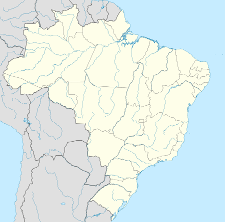
Detailkaart | |||
 | |||
| Locatie van Araputanga in de staat Mato Grosso | |||
Foto's | |||
 | |||
| Reclamebord bij de ingang van Araputanga | |||
| |||

De gemeente grenst aan Barra do Bugres, São José dos Quatro Marcos, Jauru, Rio Branco (Mato Grosso), Reserva do Cabaçal en Indiavaí.
| Bronnen, noten en/of referenties |
This article is issued from
Wikipedia.
The text is licensed under Creative
Commons - Attribution - Sharealike.
Additional terms may apply for the media files.