World's End, Berkshire
World's End is a hamlet in Berkshire, England.[1] It is in the district of West Berkshire, near the A34 road north of Newbury. To the north is the village of Beedon (where, according to the Grid Ref the 2011 Census population was included); to the south lie Downend and Chieveley.
| World's End | |
|---|---|
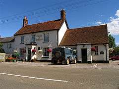 The "Coach and Horses" pub, World's End, Berkshire. | |
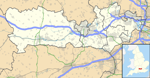 World's End Location within Berkshire | |
| OS grid reference | SU487766 |
| Civil parish | |
| Unitary authority | |
| Ceremonial county | |
| Region | |
| Country | England |
| Sovereign state | United Kingdom |
| Post town | Newbury |
| Postcode district | RG20 |
| Dialling code | 01635 |
| Police | Thames Valley |
| Fire | Royal Berkshire |
| Ambulance | South Central |
| UK Parliament | |
References
- Ordnance Survey: Landranger map sheet 174 Newbury & Wantage (Hungerford & Didcot) (Map). Ordnance Survey. 2014. ISBN 9780319228739.
- "Ordnance Survey Election Maps". www.ordnancesurvey.co.uk. Ordnance Survey. Retrieved 18 February 2016.
- "Berkshire Places: Beedon". www.berksfhs.org.uk. Retrieved 23 March 2016.
This article is issued from Wikipedia. The text is licensed under Creative Commons - Attribution - Sharealike. Additional terms may apply for the media files.