Whitley Wood
Whitley Wood is a suburb to the south of Reading in the English county of Berkshire.[1]
| Whitley Wood | |
|---|---|
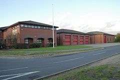 Whitley Wood fire station | |
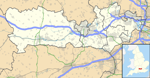 Whitley Wood Location within Berkshire | |
| OS grid reference | SU723691 |
| Unitary authority | |
| Ceremonial county | |
| Region | |
| Country | England |
| Sovereign state | United Kingdom |
| Post town | Reading |
| Postcode district | RG2 |
| Dialling code | 0118 |
| Police | Thames Valley |
| Fire | Royal Berkshire |
| Ambulance | South Central |
| UK Parliament | |
Geography
Whitley Wood is bounded to the north by an ill-defined boundary with the suburb of Whitley, to the east by a ridge of high ground carrying the road to Shinfield, to the west by the valleys of the River Kennet and the Foudry Brook, and to the south by the M4 motorway.
Government
Whitley Wood lies within the Borough of Reading and all local government responsibility lies with the borough council. Whitley is within the Reading West parliamentary constituency.
References
- "Number 9 Reading bus attacked in Whitley Wood". www.getreading.co.uk. Retrieved 2 May 2016.
| Wikimedia Commons has media related to Whitley Wood. |
This article is issued from Wikipedia. The text is licensed under Creative Commons - Attribution - Sharealike. Additional terms may apply for the media files.