Westwoud
Westwoud is a town in the Netherlands. It is located in the region of West Friesland in North Holland, about 4 kilometers northeast of Hoorn. The town is part of the municipality of Drechterland and has a population of 1,785.
Westwoud | |
|---|---|
Town | |
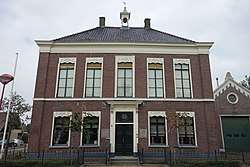 Former town hall of Westwoud | |
 Flag  Coat of arms | |
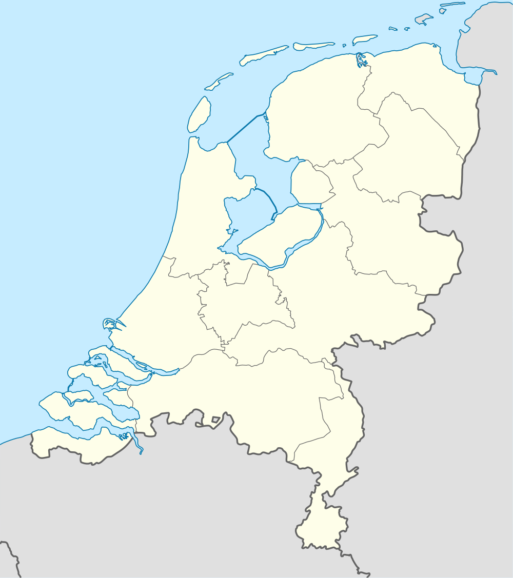 Westwoud Location of Westwoud in the Netherlands | |
| Coordinates: 52°41′0″N 5°8′0″E | |
| Country | Netherlands |
| Province | North Holland |
| Municipality | Drechterland |
| Area | |
| • Total | 8.73 km2 (3.37 sq mi) |
| • Land | 8.67 km2 (3.35 sq mi) |
| • Water | 0.05 km2 (0.02 sq mi) |
| Population (2019)[1] | |
| • Total | 1,785 |
| • Density | 205.88/km2 (533.2/sq mi) |
| Demonym(s) | Westwouder |
| Postcode | 1617 |
| Area code | 0228 |
Westwoud received city rights in 1414. It was a separate municipality between 1817 and 1979, when it merged with Hoogkarspel and Oosterblokker to form the municipality Bangert.[2]
Gallery
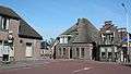 Town center
 Saint Martin's Church
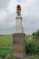 Historic border pole
References
- "Kerncijfers wijken en buurten 2019". CBS StatLine (in Dutch). Statistics Netherlands. Retrieved 10 March 2020.
- Ad van der Meer and Onno Boonstra, Repertorium van Nederlandse gemeenten, KNAW, 2006.
External links
- J. Kuyper, Gemeente Atlas van Nederland, 1865-1870, "Westwoud". Map of the former municipality, around 1868.
This article is issued from Wikipedia. The text is licensed under Creative Commons - Attribution - Sharealike. Additional terms may apply for the media files.