Westford, Dodge County, Wisconsin
Westford is a town in Dodge County, Wisconsin, United States. The population was 1,400 at the 2000 census. The unincorporated community of South Randolph is located in the town. The unincorporated community of Lost Lake is also located partially in the town.
Westford, Wisconsin | |
|---|---|
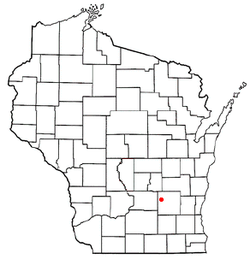 Location of Westford, Wisconsin | |
| Coordinates: 43°30′41″N 88°57′2″W | |
| Country | |
| State | |
| County | Dodge |
| Area | |
| • Total | 34.8 sq mi (90.1 km2) |
| • Land | 30.2 sq mi (78.1 km2) |
| • Water | 4.6 sq mi (12.0 km2) |
| Elevation | 869 ft (265 m) |
| Population (2000) | |
| • Total | 1,400 |
| • Density | 46.4/sq mi (17.9/km2) |
| Time zone | UTC-6 (Central (CST)) |
| • Summer (DST) | UTC-5 (CDT) |
| FIPS code | 55-85650[2] |
| GNIS feature ID | 1584406[1] |
Geography
According to the United States Census Bureau, the town has a total area of 34.8 square miles (90.1 km²), of which, 30.2 square miles (78.1 km²) of it is land and 4.6 square miles (12.0 km²) of it (13.30%) is water.
Demographics
At the 2000 census there were 1,400 people, 551 households, and 413 families living in the town. The population density was 46.4 people per square mile (17.9/km²). There were 709 housing units at an average density of 23.5 per square mile (9.1/km²). The racial makeup of the town was 97.00% White, 0.07% African American, 0.57% Native American, 0.07% Asian, 1.93% from other races, and 0.36% from two or more races. Hispanic or Latino of any race were 2.64%.[2]
Of the 551 households 28.7% had children under the age of 18 living with them, 66.8% were married couples living together, 4.2% had a female householder with no husband present, and 24.9% were non-families. 18.9% of households were one person and 5.6% were one person aged 65 or older. The average household size was 2.54 and the average family size was 2.89.
The age distribution was 22.5% under the age of 18, 5.7% from 18 to 24, 30.4% from 25 to 44, 25.9% from 45 to 64, and 15.5% 65 or older. The median age was 41 years. For every 100 females, there were 107.4 males. For every 100 females age 18 and over, there were 110.3 males.
The median household income was $48,516 and the median family income was $52,188. Males had a median income of $37,083 versus $24,205 for females. The per capita income for the town was $22,582. About 1.4% of families and 2.8% of the population were below the poverty line, including 2.6% of those under age 18 and 3.0% of those age 65 or over.
Notable people
- Joseph Biel, farmer, businessman, and politician, lived in the town.[3]
References
- "US Board on Geographic Names". United States Geological Survey. 2007-10-25. Retrieved 2008-01-31.
- "U.S. Census website". United States Census Bureau. Retrieved 2008-01-31.
- 'Wisconsin Blue Book 1915,' Biographical Sketch of Joseph Biel, pg. 508
Municipalities and communities of Dodge County, Wisconsin, United States | ||
|---|---|---|
| Cities | 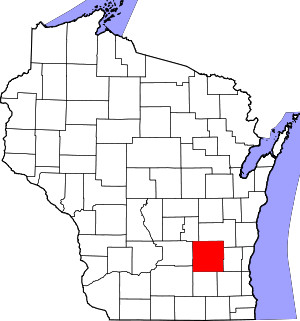 | |
| Villages | ||
| Towns | ||
| CDPs | ||
| Unincorporated communities |
| |
| Ghost towns | ||
| Footnotes | ‡This populated place also has portions in an adjacent county or counties | |