Wacissa, Florida
Wacissa is a small unincorporated community and census-designated place (CDP) in Jefferson County, Florida, United States. As of the 2010 census the population was 386.[1] It shares its name with the Wacissa River, the headwaters of which are about one mile to the south.
Wacissa, Florida | |
|---|---|
 Wacissa  Wacissa | |
| Coordinates: 30°21′30″N 83°59′24″W | |
| Country | |
| State | |
| County | Jefferson |
| Area | |
| • Total | 4.22 sq mi (10.93 km2) |
| • Land | 4.20 sq mi (10.87 km2) |
| • Water | 0.02 sq mi (0.06 km2) |
| Elevation | 42 ft (13 m) |
| Population (2010) | |
| • Total | 386 |
| • Density | 92.0/sq mi (35.51/km2) |
| Time zone | UTC-5 (Eastern (EST)) |
| • Summer (DST) | UTC-4 (EDT) |
| ZIP code | 32361 |
| Area code(s) | 850 |
| FIPS code | 12-74700[1] |
| GNIS feature ID | 0292809[2] |
Geography
Wacissa is in western Jefferson County, 16 miles (26 km) southwest of Monticello, the county seat, and 20 miles (32 km) southeast of Tallahassee, the state capital. Florida State Road 59 runs through the community, leading north 4 miles (6 km) to U.S. Route 27 and south 14 miles (23 km) to U.S. Route 98.
According to the U.S. Census Bureau, the Wacissa CDP has a total area of 4.2 square miles (10.9 km2), of which 0.02 square miles (0.06 km2), or 0.53%, are water.[1]
Demographics
As of the 2010 census, Wacissa had a population of 386 and 197 housing units.[1]
Cemeteries
- Bethpage Cemetery
- Broomsage Cemetery
- Walker Cemetery
- Story Cemetery
Churches
- Bethpage Church
- Wacissa Pentecostal Holiness Church
- United Methodist Church
- Welaunee Church
- Union Hill AME Church
Municipalities and communities of Jefferson County, Florida, United States | ||
|---|---|---|
| City | 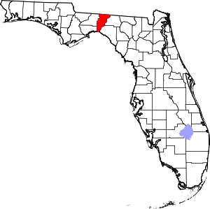 | |
| CDPs | ||
| Unincorporated communities | ||
| Ghost towns |
| |
| Plantations | ||
| Footnote |
| |
References
- "Geographic Identifiers: 2010 Census Summary File 1 (G001): Wacissa CDP, Florida". American Factfinder. U.S. Census Bureau. Archived from the original on February 13, 2020. Retrieved May 1, 2018.
- U.S. Geological Survey Geographic Names Information System: Wacissa, Florida