Villecresnes
Villecresnes is a commune in the southeastern suburbs of Paris, France. It is located 20.1 km (12.5 mi) from the center of Paris.
Villecresnes | |
|---|---|
 The church of Notre-Dame, in Villecresnes | |
 Coat of arms | |
 Paris and inner ring departments | |
Location of Villecresnes 
| |
 Villecresnes Paris and inner ring departments 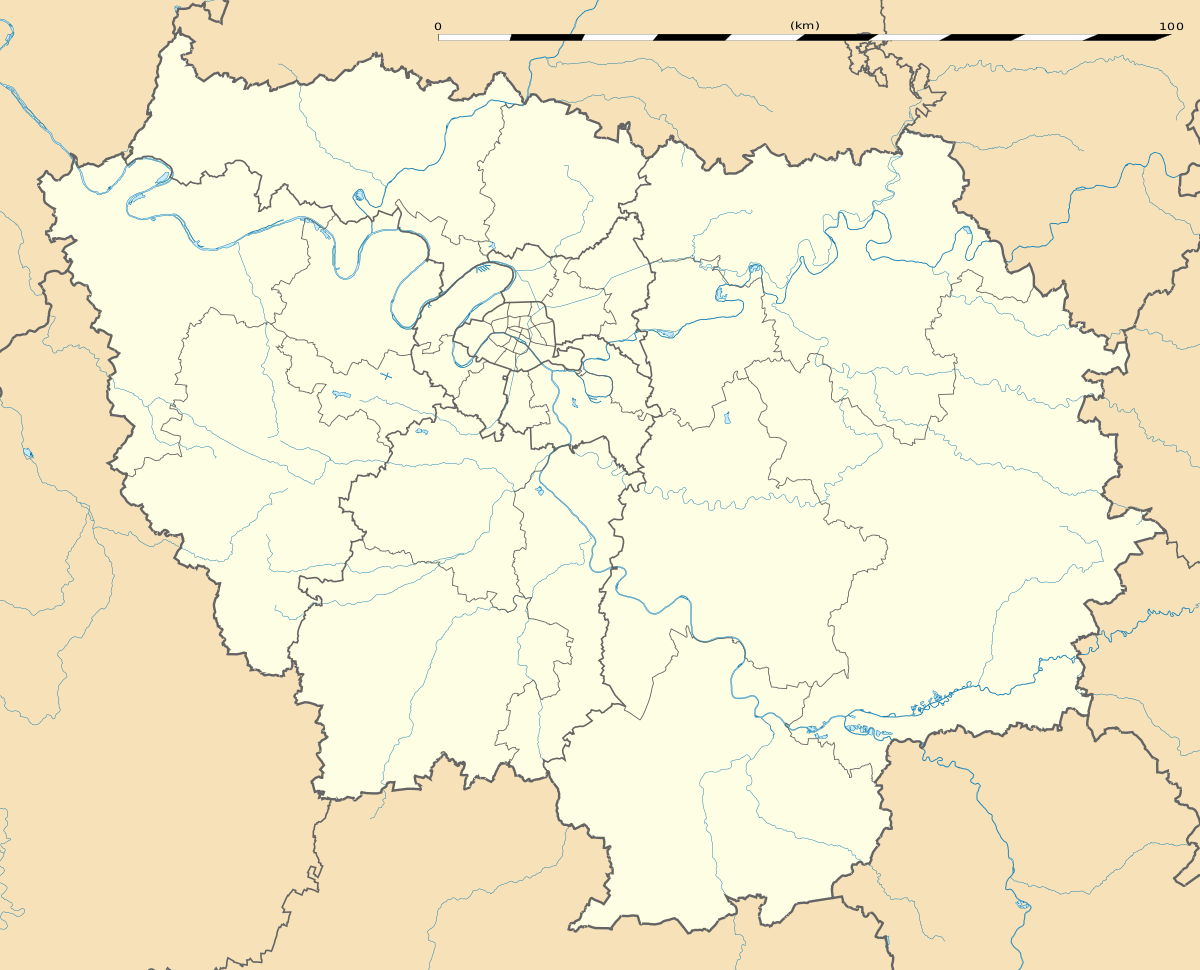 Villecresnes Villecresnes (Île-de-France (region)) | |
| Coordinates: 48°43′17″N 2°32′03″E | |
| Country | France |
| Region | Île-de-France |
| Department | Val-de-Marne |
| Arrondissement | Créteil |
| Canton | Plateau briard |
| Intercommunality | Grand Paris |
| Government | |
| • Mayor (2008–2014) | Daniel Wappler |
| Area 1 | 5.62 km2 (2.17 sq mi) |
| Population (2017-01-01)[1] | 10,458 |
| • Density | 1,900/km2 (4,800/sq mi) |
| Time zone | UTC+01:00 (CET) |
| • Summer (DST) | UTC+02:00 (CEST) |
| INSEE/Postal code | 94075 /94440 |
| Elevation | 50–111 m (164–364 ft) |
| 1 French Land Register data, which excludes lakes, ponds, glaciers > 1 km2 (0.386 sq mi or 247 acres) and river estuaries. | |
Transport
Villecresnes is served by no station of the Paris Métro, RER, or suburban rail network. The closest station to Villecresnes is Boissy-Saint-Léger station on Paris RER line A. This station is located in the neighboring commune of Boissy-Saint-Léger, 4 km (2.5 mi) from the town center of Villecresnes.
Education
Schools in the commune include:[2]
- Three public preschools (maternelles): du Château, des Fleurs, du Réveillon
- One public group of preschools/elementary schools: Mélanie Bonis
- One public elementary school: des Merles
- One public junior high school: Collège public La Guinette
- A private preschool: Le Petit cours
For high school students attend Lycée public Guillaume Budé in nearby Limeil-Brévannes.[2]
Notable residents
- William Irigoyen (born 1970), journalist, born in Villecresnes
- Alexandra Lamy (born 1971), French actress, born in Villecresnes
Twin towns


References
- INSEE
- Mayors of Essonne Association (in French)
- "Populations légales 2017". INSEE. Retrieved 6 January 2020.
- "Les écoles." Villecresnes. Retrieved on September 11, 2016.
External links
| Wikimedia Commons has media related to Villecresnes. |
| Authority control |
|
|---|
This article is issued from Wikipedia. The text is licensed under Creative Commons - Attribution - Sharealike. Additional terms may apply for the media files.