Vergato
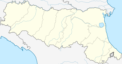
Vergato (Medial Mountain Bolognese: Vargà or Varghè) is a comune (municipality) in the Metropolitan City of Bologna in the Italian region Emilia-Romagna, located about 40 kilometres (25 mi) southwest of Bologna.
Vergato | |
|---|---|
| Comune di Vergato | |
 Coat of arms | |
Location of Vergato 
| |
 Vergato Location of Vergato in Italy  Vergato Vergato (Emilia-Romagna) | |
| Coordinates: 44°17′N 11°7′E | |
| Country | Italy |
| Region | Emilia-Romagna |
| Metropolitan city | Bologna (BO) |
| Frazioni | Calvenzano, Castelnuovo, Cereglio, Marano, Pieve Roffeno, Prunarolo, Riola, Susano, Tabina, Tolè, |
| Government | |
| • Mayor | Giuseppe Argentieri (Centre-Right) |
| Area | |
| • Total | 59.94 km2 (23.14 sq mi) |
| Elevation | 193 m (633 ft) |
| Population (31 December 2016)[2] | |
| • Total | 7,627 |
| • Density | 130/km2 (330/sq mi) |
| Demonym(s) | Vergatesi |
| Time zone | UTC+1 (CET) |
| • Summer (DST) | UTC+2 (CEST) |
| Postal code | 40038 |
| Dialing code | 051 |
| Website | Official website |
Vergato borders the following municipalities: Castel d'Aiano, Gaggio Montano, Grizzana Morandi, Marzabotto, Valsamoggia, Zocca.
The town was almost entirely destroyed during the Gothic Line phase of the Italian Campaign in World War II. It is connected to Bologna by the Porrettana railway and by the Porrettana State Road.
Main sights
- Tarots Museum
- Church of the Assumption of Mary, Riola di Vergato
References
- "Superficie di Comuni Province e Regioni italiane al 9 ottobre 2011". Istat. Retrieved 16 March 2019.
- All demographics and other statistics: Italian statistical institute Istat.
This article is issued from Wikipedia. The text is licensed under Creative Commons - Attribution - Sharealike. Additional terms may apply for the media files.