Ventanas Radioayuda Airport
Viña Tarapacá Airport Spanish: Aeropuerto Viña Tarapacá, (ICAO: SCVT) is an airport located 3 kilometres (2 mi) southwest of Isla de Maipo, a town in the Santiago Metropolitan Region of Chile.
Viña Tarapacá Airport Ventanas Radioayuda Airport | |||||||||||
|---|---|---|---|---|---|---|---|---|---|---|---|
| Summary | |||||||||||
| Airport type | Public | ||||||||||
| Serves | Isla de Maipo, Chile | ||||||||||
| Elevation AMSL | 1,066 ft / 325 m | ||||||||||
| Coordinates | 33°46′01″S 70°55′20″W | ||||||||||
| Map | |||||||||||
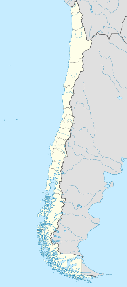 SCVT Location of Viña Tarapacá Airport in Chile | |||||||||||
| Runways | |||||||||||
| |||||||||||
The runway lies along the Maipo River. There is distant rising terrain west of the airport.
The Talagante non-directional beacon (Ident: TAL) is located 5.1 nautical miles (9.4 km) north of the airport. The Los Cerrillos VOR-DME (Ident: STI) is located 19.3 nautical miles (35.7 km) northeast of the airport.[4][5]
See also


- Transport in Chile
- List of airports in Chile
References
- Airport record for Ventanas Radioayuda Airport at Landings.com. Retrieved 2013-09-06
- Google (2013-09-06). "location of Viña Tarapacá Airport" (Map). Google Maps. Google. Retrieved 2013-09-06.
- Airport information for Ventanas Radioayuda Airport at Great Circle Mapper.
- Talagante NDB
- Los Cerrillos VOR
External links
- OpenStreetMap - Viña Tarapacá
- OurAirports - Viña Tarapacá
- FallingRain - Viña Tarapacá Airport
- Accident history for Viña Tarapacá Airport at Aviation Safety Network
This article is issued from Wikipedia. The text is licensed under Creative Commons - Attribution - Sharealike. Additional terms may apply for the media files.