Chacalluta International Airport
Chacalluta International Airport (Aeródromo de Chacalluta Arica) (IATA: ARI, ICAO: SCAR) is an airport serving the city of Arica, capital of the Arica Province in the northern Arica y Parinacota Region of Chile. It is 18.5 kilometres (11.5 mi) northwest of the city and 1 kilometre (0.62 mi) south of the border with Peru.
Chacalluta International Airport | |||||||||||
|---|---|---|---|---|---|---|---|---|---|---|---|
 | |||||||||||
| Summary | |||||||||||
| Airport type | Public | ||||||||||
| Serves | Arica, Arica y Parinacota Region, Chile | ||||||||||
| Elevation AMSL | 51 m / 166 ft | ||||||||||
| Coordinates | 18°20′55″S 70°20′20″W | ||||||||||
| Maps | |||||||||||
_(zoom).svg.png) Arica y Parinacota Region in Chile | |||||||||||
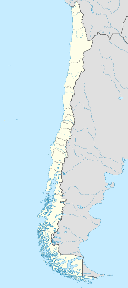 ARI Location of the airport in Chile | |||||||||||
| Runways | |||||||||||
| |||||||||||
Runway 02 has an additional 630 metres (2,070 ft) displaced threshold. It is 1.6 kilometres (1 mi) inland from the Pacific shoreline.
The Arica VOR-DME (Ident: ARI) and non-directional beacon (Ident: R) are located on the approach path to Runway 02.[4][5]
Airlines and destinations
| Airlines | Destinations |
|---|---|
| Amaszonas | Iquique[6] |
| JetSmart | Concepcion,[7] La Serena[7] |
| LATAM Chile | Santiago de Chile |
| Sky Airline | Santiago de Chile |
See also


- Transport in Chile
- List of airports in Chile
References
- Airport record for Chacalluta International Airport at Landings.com
- Airport information for Chacalluta Airport at Great Circle Mapper.
- "Location of Chacalluta Airport". Google Maps. Google. Retrieved 18 February 2018.
- Arica VOR
- Arica NDB
- RoutesOnline Amazonas Arica route
- Liu, Jim. "JetSMART schedules new routes from Dec 2019". Routesonline. Retrieved 7 August 2019.
External links
- OpenStreetMap - Chacalluta
- SkyVector - Chacalluta
- FallingRain - Chacalluta Airport
- Accident history for Chacalluta Airport at Aviation Safety Network
- Current weather for Chacalluta Airport at NOAA/NWS
This article is issued from Wikipedia. The text is licensed under Creative Commons - Attribution - Sharealike. Additional terms may apply for the media files.