Urrao Airport
Urrao Airport (IATA: URR, ICAO: SKUR) is an airport serving Urrao, a town in the Antioquia Department of Colombia. The runway and town are in an elevated mountain valley, on the eastern bank of the small Penderisco River, an eventual tributary of the Atrato River.
Urrao Airport Alí Piedrahita Airport | |||||||||||
|---|---|---|---|---|---|---|---|---|---|---|---|
| Summary | |||||||||||
| Airport type | Public | ||||||||||
| Serves | Urrao | ||||||||||
| Elevation AMSL | 6,090 ft / 1,856 m | ||||||||||
| Coordinates | 6°19′35″N 76°08′25″W | ||||||||||
| Map | |||||||||||
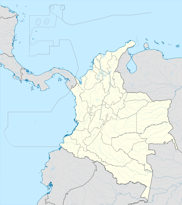 URR Location of the airport in Colombia | |||||||||||
| Runways | |||||||||||
| |||||||||||
High terrain exists in all quadrants, with mountains to the north. An overrun to the south will drop down the river embankment. The Rio Negro VOR-DME (Ident: RNG) is located 48.0 nautical miles (89 km) east-southeast of the airport.
See also


- Transport in Colombia
- List of airports in Colombia
References
- Airport information for Urrao Airport at Great Circle Mapper.
- Google Maps - Urrao
External links
- OpenStreetMap - Urrao Airport
- OurAirports - Urrao
- FallingRain - Urrao
- Accident history for URR at Aviation Safety Network
This article is issued from Wikipedia. The text is licensed under Creative Commons - Attribution - Sharealike. Additional terms may apply for the media files.