Antonio Nariño Airport
Antonio Nariño Airport (IATA: PSO, ICAO: SKPS) is located in the town of Chachagüí and serves the city of Pasto in the Nariño Department of Colombia. The airport is 35 kilometres (22 mi) north of Pasto. It handles only domestic flights in addition to military operations and private charters. A new terminal, administrative and tower control are being built, also new navigation equipment is being set up due to the increasing number of passengers and cargo flights. Usually Airbus 318, 319, 320, Boeing 737, 727, turboprop and different types of smaller aircraft use this airport.
Antonio Nariño Airport Aeropuerto Antonio Nariño | |||||||||||
|---|---|---|---|---|---|---|---|---|---|---|---|
| Summary | |||||||||||
| Airport type | Public | ||||||||||
| Operator | Aerocivil | ||||||||||
| Serves | Pasto, Colombia | ||||||||||
| Location | Chachagüí | ||||||||||
| Elevation AMSL | 5,951 ft / 1,814 m | ||||||||||
| Coordinates | 1°23′45″N 77°17′28″W | ||||||||||
| Map | |||||||||||
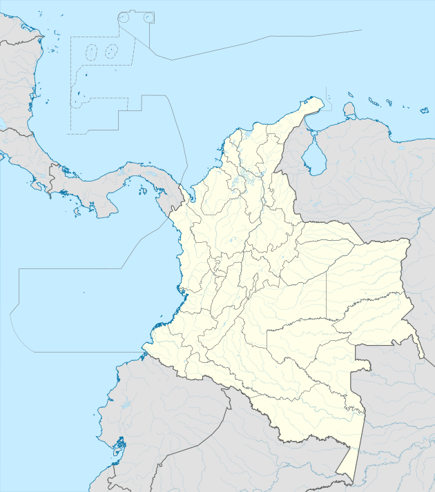 PSO Location of airport in Colombia | |||||||||||
| Runways | |||||||||||
| |||||||||||
| Statistics (2019) | |||||||||||
| |||||||||||
Runway
The airport's runway was built on a plateau of 50 meters because of the surrounding terrain. Due to this, many pilots refer to the airport as an aircraft carrier. The runway is also relatively short for the elevation of the airport.
The position of the runway means that it is often rendered unusable, since in the presence of crosswinds, it prevents aircraft making a safe takeoff and landing. Crosswinds are common during the summer, particularly during the month of August.
Since 2007, the runway has been equipped with an instrument landing system (ILS), which permits airport operations during the night and when there is low visibility. However, a suitable place is being sought for to build a new airport due to the big increase in passengers and cargo and also since the current airport is often closed due to poor weather conditions.
The Pasto VOR-DME (Ident: PSO) and Pasto non-directional beacon (Ident: PSO) are located on the field.[4][5]
References
- Airport information for SKPS at World Aero Data. Data current as of October 2006.Source: DAFIF.
- Airport information for PSO at Great Circle Mapper. Source: DAFIF (effective October 2006).
- Google Maps - Antonio Nariño
- Pasto VOR
- Pasto NDB
External links
- OpenStreetMap - Antonio Nariño Airport
- SkyVector - Antonio Nariño Airport
- Accident history for PSO at Aviation Safety Network
- Current weather for SKPS at NOAA/NWS