Uppal Kalan
Uppal is a suburb in Eastern Hyderabad, Telangana, India. It is the mandal headquarters of Uppal mandal in Keesara revenue division in Medchal-Malkajgiri district.[1] It was a municipality prior to its merger into the Greater Hyderabad Municipal Corporation.[2] The words khurd and kalan ("little" and "big") were administrative terminology dating back to Mughal times, to differentiate two areas with the same name Khurd means " ("small") and kalan means ("big") are taken from Persian language.
Uppal Uppal Kalan | |
|---|---|
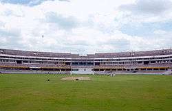 Uppal Cricket stadium | |
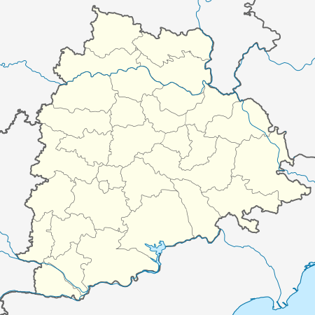 Uppal Location in Telangana, India  Uppal Uppal (India) | |
| Coordinates: 17.38°N 78.55°E | |
| Country | |
| State | Telangana |
| District | Medchal-Malkajgiri |
| City | Hyderabad |
| Elevation | 455 m (1,493 ft) |
| Languages | |
| • Official | Telugu, Urdu |
| Time zone | UTC+5:30 (IST) |
| PIN | 500 039 |
| Telephone code | 91 040 |
| Vehicle registration | TS-08 |
Demographics
As of 2001 India census,[3] Uppal Kalan had a population of 118,259. Males constitute 52% of the population and females 48%. Uppal Kalan has an average literacy rate of 73%, higher than the national average of 59.5%: male literacy is 80%, and female literacy is 66%. In Uppal Kalan, 12% of the population is under 6 years of age.
In 1991, it had a population of 78,644. The recorded growth rate of this area in 10 years (1991–2001) was about 56 percent.
See also
- Uppal (Assembly constituency)
- Uppal (survey of india)
References
- "Medchal−Malkajgiri district" (PDF). New Districts Formation Portal. Archived from the original (PDF) on 30 November 2016. Retrieved 11 October 2016.
- "Greater Hyderabad Municipal Corporation". www.ghmc.gov.in. Archived from the original on 1 January 2016. Retrieved 2 November 2016.
- "Census of India 2001: Data from the 2001 Census, including cities, villages and towns (Provisional)". Census Commission of India. Archived from the original on 16 June 2004. Retrieved 1 November 2008.