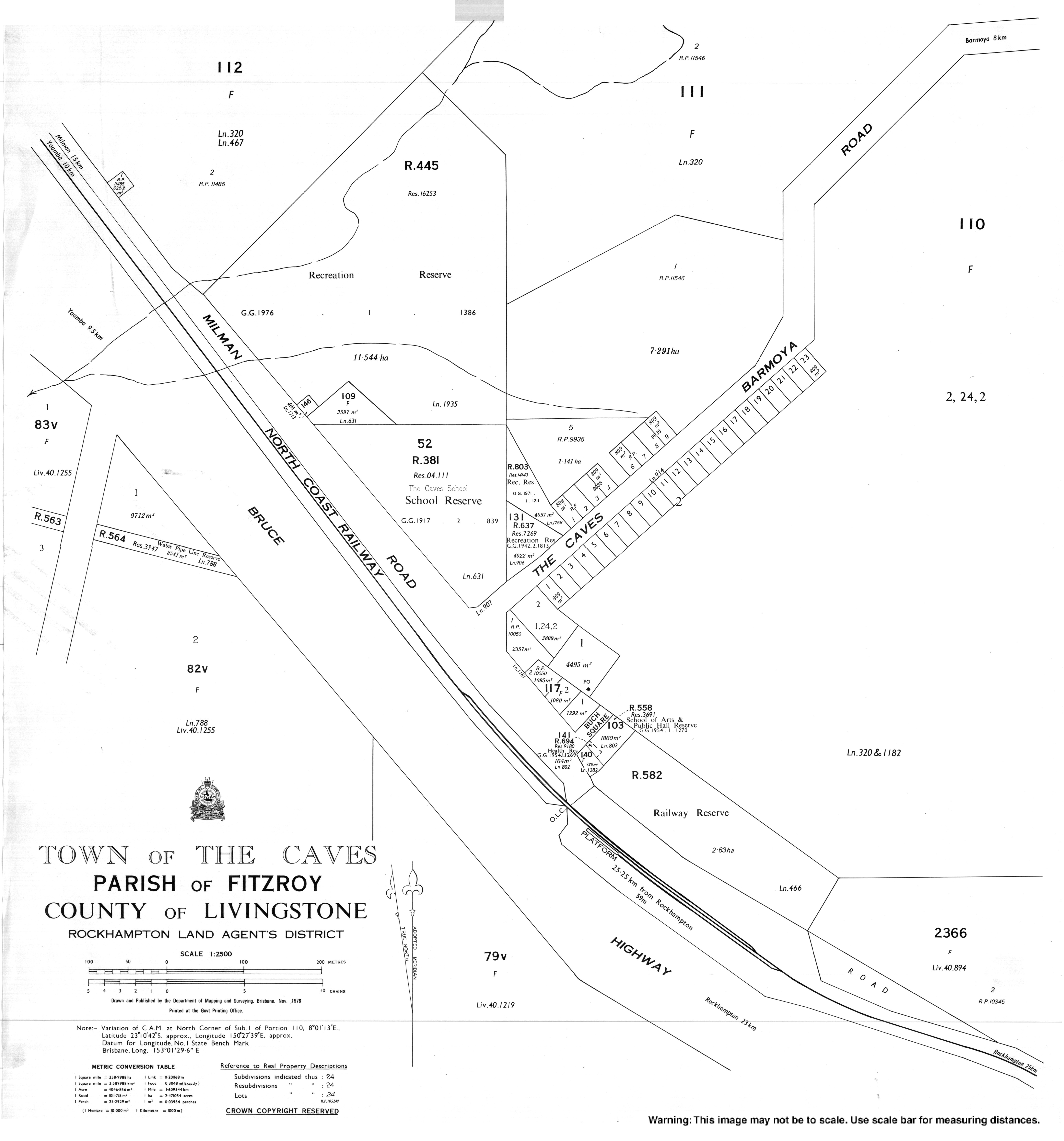
The Caves, Queensland
The Caves is a rural town and locality in the Livingstone Shire, Queensland, Australia.[2][3]
| The Caves Queensland | |||||||||||||||
|---|---|---|---|---|---|---|---|---|---|---|---|---|---|---|---|
 The Caves | |||||||||||||||
| Coordinates | 23.1766°S 150.4597°E | ||||||||||||||
| Population | 708 (2011 census)[1] | ||||||||||||||
| • Density | 14.361/km2 (37.19/sq mi) | ||||||||||||||
| Postcode(s) | 4702 | ||||||||||||||
| Area | 49.3 km2 (19.0 sq mi) | ||||||||||||||
| LGA(s) | Shire of Livingstone | ||||||||||||||
| State electorate(s) | |||||||||||||||
| Federal Division(s) | Capricornia | ||||||||||||||
| |||||||||||||||
Geography
The locality is in Central Queensland region. Alligator Creek, a tributary of the Fitzroy River forms the western boundary of the locality. The Bruce Highway and North Coast railway line traverse the locality from south to north-west, passing through the town, which is served by The Caves railway station with Camoo railway station further north. The Mount Etna Caves National Park protects the limestone caves area in the north-east of the locality.[4]
History
The town takes its name from The Caves railway station, which in turn was originally called Etna railway station but was renamed by the Queensland Railways Department on 23 July 1914, because of the limestone caves in the area.[2][5]
Mount Etna Provisional School opened on 7 November 1904 but was renamed The Caves Provisional School in 1905. It became The Caves State School on 1 January 1909.[6]
At the 2011 census The Caves recorded a population of 708 people.[1]
Tourist attractions
The Caves is home to two cave based tourist attractions. They are:
- Capricorn Caves, a privately owned limestone caves system.
- Mount Etna Caves National Park, a state government owned limestone caves system with two separate sections (Cammoo and Mount Etna)
Education
The Caves State School is a primary (P-6) school for boys and girls operated by the Queensland Government at 1 Barmoya Road. In 2016, the school had an enrolment of 87 students with 6 teachers (5 full-time equivalent) and 8 non-teaching staff (5 full-time equivalent).[7]
References
- Australian Bureau of Statistics (31 October 2012). "The Caves (State Suburb)". 2011 Census QuickStats. Retrieved 18 April 2017.

- "The Caves - town in Livingstone Shire (entry 33898)". Queensland Place Names. Queensland Government. Retrieved 5 August 2017.
- "The Caves - locality in Livingstone Shire (entry 48893)". Queensland Place Names. Queensland Government. Retrieved 5 August 2017.
- "Queensland Globe". State of Queensland. Retrieved 5 October 2017.
- "The Caves - railway station in Shire of Livingstone (entry 33899)". Queensland Place Names. Queensland Government. Retrieved 5 October 2017.
- Queensland Family History Society (2010), Queensland schools past and present (Version 1.01 ed.), Queensland Family History Society, ISBN 978-1-921171-26-0
- "Annual Report 2016" (PDF). The Caves State School. Archived (PDF) from the original on 5 October 2017. Retrieved 5 October 2017.
Further reading
- Parents and Citizens' Association (Caves) (1979), The Caves State School 75th year jubilee, [1979?], retrieved 5 October 2017