Tecolotito, New Mexico
Tecolotito is an unincorporated community and census-designated place in San Miguel County, New Mexico, United States. The word "Tecolotito" has its origin in the Nahuatl language. Adopted into Spanish it means "small owl." The population of the community was 232 as of the 2010 census, of which 213 people were of Hispanic origin.[1][3]
Tecolotito, New Mexico | |
|---|---|
Unincorporated community | |
 Tecolotito | |
| Coordinates: 35°14′04″N 105°09′34″W | |
| Country | United States |
| State | New Mexico |
| County | San Miguel |
| Area | |
| • Total | 0.715 sq mi (1.85 km2) |
| • Land | 0.715 sq mi (1.85 km2) |
| • Water | 0 sq mi (0 km2) |
| Elevation | 5,321 ft (1,622 m) |
| Population | |
| • Total | 232 |
| • Density | 320/sq mi (130/km2) |
| Time zone | UTC-7 (Mountain (MST)) |
| • Summer (DST) | UTC-6 (MDT) |
| Area code(s) | 505 |
| GNIS feature ID | 911582[2] |
Geography
Tecolotito is located at 35.2344939°N 105.1594474°W, near the junction of the Pecos River and Tecolote Creek.[2] According to the U.S. Census Bureau, the community has an area of 0.715 square miles (1.85 km2), all of it land.[1] New Mexico State Road 386 passes through the community
References
- "2010 Census Gazetteer Files - Places: New Mexico". U.S. Census Bureau. Retrieved December 31, 2016.
- "Tecolotito". Geographic Names Information System. United States Geological Survey.
- https://factfinder.census.gov/faces/tableservices/jsf/pages/productview.xhtml?src=CF Archived 2011-07-21 at the Wayback Machine, accessed 17 Apr 2019
Municipalities and communities of San Miguel County, New Mexico, United States | ||
|---|---|---|
| City | 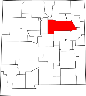 Map of New Mexico highlighting San Miguel County | |
| Villages | ||
| CDPs | ||
| Other unincorporated communities | ||
| Ghost towns | ||
| Footnotes | ‡This populated place also has portions in an adjacent county or counties | |
This article is issued from Wikipedia. The text is licensed under Creative Commons - Attribution - Sharealike. Additional terms may apply for the media files.