Tamarindo Airport
Tamarindo Airport (IATA: TNO, ICAO: MRTM) is a private airport that serves Tamarindo, a coastal resort in Guanacaste province, Costa Rica. It receives daily scheduled flights from San José and Liberia, and private charter services are available. During the rainy season, the airport is frequently closed due to the weather.
Tamarindo Airport | |||||||||||
|---|---|---|---|---|---|---|---|---|---|---|---|
| Summary | |||||||||||
| Airport type | Private | ||||||||||
| Serves | Tamarindo, Costa Rica | ||||||||||
| Elevation AMSL | 43 ft / 13 m | ||||||||||
| Coordinates | 10°18′55″N 85°48′50″W | ||||||||||
| Map | |||||||||||
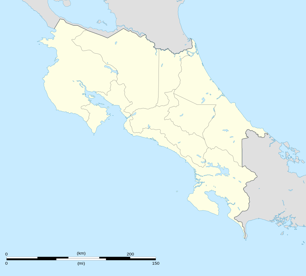 TNO Location in Costa Rica | |||||||||||
| Runways | |||||||||||
| |||||||||||
| Statistics (2017) | |||||||||||
| |||||||||||
Tamarindo airport is the fifth-busiest in the country by passenger traffic, the third-busiest domestic-only airport after Puerto Jiménez and Quepos, and the busiest privately-managed airport in Costa Rica.
The airport is 2.5 kilometres (1.6 mi) inland from the town. The Liberia VOR-DME (Ident: LIB) is located 23.1 nautical miles (43 km) northeast of the airport.[6]
Airlines and destinations
| Airlines | Destinations |
|---|---|
| Aerobell Airlines | San José–Tobías Bolaños |
| Sansa Airlines | San José–Juan Santamaría |
| Skyway Airlines | San José–Juan Santamaría |
Passenger Statistics
These data show number of passengers movements into the airport, according to the Directorate General of Civil Aviation of Costa Rica's statistical yearbooks.
| Year | 2010 | 2011 | 2012 | 2013 | 2014 | 2015 | 2016 | 2017 |
|---|---|---|---|---|---|---|---|---|
| Passengers | 20,755 | 17,807 | 16,548 | 15,436 | 30,108 | 18,209 | 25,012 | 26,624 |
| Growth (%) | ||||||||
| Source: Costa Rica's Directorate General of Civil Aviation (DGAC). Statistical Yearbooks (Years 2010,[7] 2011,[8] 2012,[9] 2013,[10] 2014,[11] 2015,[12] 2016,[13] and 2017[14]) | ||||||||
| Year | 2000 | 2001 | 2002 | 2003 | 2004 | 2005 | 2006 | 2007 | 2008 | 2009 |
|---|---|---|---|---|---|---|---|---|---|---|
| Passengers | 29,748 | 27,132 | 29,762 | 35,434 | 40,633 | 36,679 | 41,400 | 40,118 | 34,143 | 26,321 |
| Growth (%) | N.A. | |||||||||
| Source: Costa Rica's Directorate General of Civil Aviation (DGAC). Statistical Yearbooks (Years 2000-2005,[15] 2006,[16] 2007,[17] 2008,[18] and 2009[19] ) | ||||||||||
References
- "Anuario Estadístico 2017". DGAC. Retrieved October 20, 2018.
- "Costa Rican AIP 2014" (PDF). DGAC. Retrieved October 20, 2018.
- Airport information for Tamarindo Airport at Great Circle Mapper.
- "Tamarindo de Santa Cruz Airport". SkyVector. Retrieved 21 October 2018.
- "Tamarindo Airport". Google Maps. Google. Retrieved 25 March 2019.
- "Liberia VOR". Our Airports. Retrieved 21 October 2018.
- "Anuario Estadístico 2010" (PDF). DGAC. Retrieved October 20, 2018.
- "Anuario Estadístico 2011" (PDF). DGAC. Retrieved October 20, 2018.
- "Anuario Estadístico 2012" (PDF). DGAC. Retrieved October 20, 2018.
- "Anuario Estadístico 2013" (PDF). DGAC. Retrieved October 20, 2018.
- "Anuario Estadístico 2014" (PDF). DGAC. Retrieved October 20, 2018.
- "Anuario Estadístico 2015" (PDF). DGAC. Retrieved October 20, 2018.
- "Anuario Estadístico 2016" (PDF). DGAC. Retrieved October 20, 2018.
- "Resumen Estadístico 2017" (PDF). DGAC. Retrieved October 20, 2018.
- Oficina de Planificación, DGAC de Costa Rica
- DGAC Yearbook 2006 Archived 2016-01-25 at the Wayback Machine
- DGAC Yearbook 2007 Archived 2016-01-26 at the Wayback Machine
- DGAC Yearbook 2008 Archived 2016-03-04 at the Wayback Machine
- DGAC Yearbook 2009 Archived 2016-01-25 at the Wayback Machine
External links
- OpenStreetMap - Tamarindo
- OurAirports - Tamarindo Airport
- Accident history for Tamarindo Airport at Aviation Safety Network
- Tamarindo Beach Airport