Swamp Creek (Mitchell, East Gippsland, Victoria)
Swamp Creek is a perennial stream of the Mitchell River catchment, located in the Alpine and East Gippsland regions of the Australian state of Victoria.
| Swamp | |
|---|---|
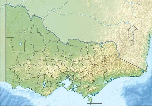 Location of the Swamp Creek mouth in Victoria | |
| Location | |
| Country | Australia |
| State | Victoria |
| Region | Australian Alps (IBRA), South East Corner (IBRA), Victorian Alps, East Gippsland |
| Local government area | East Gippsland |
| Physical characteristics | |
| Source | Great Dividing Range |
| • location | east of Dargo |
| • coordinates | 37°28′8″S 147°19′36″E |
| • elevation | 746 m (2,448 ft) |
| Mouth | confluence with the Wentworth and Wonnangatta rivers to form the Mitchell River |
• location | Horseshoe Bend, north of Mitchell River National Park |
• coordinates | 37°34′41″S 147°22′8″E |
• elevation | 108 m (354 ft) |
| Length | 17 km (11 mi) |
| Basin features | |
| River system | Mitchell River catchment |
| [1][2] | |
Features and location
Swamp Creek rises below an unnamed peak, part of the Great Dividing Range, east of Dargo in a remote state forestry area. The creek flows generally south by southeast, before reaching its confluence with the Wentworth and Wonnangatta rivers to form the Mitchell River north of the Mitchell River National Park, in the Shire of East Gippsland. The creek descends 638 metres (2,093 ft) over its 17-kilometre (11 mi) course.[2]
See also
- List of rivers in Australia
References
- "Swamp Creek: 26819". Vicnames. Government of Victoria. 2 May 1966. Retrieved 20 January 2014.
- "Map of Swamp Creek, VIC". Bonzle Digital Atlas of Australia. Retrieved 13 January 2014.
External links
- "Mitchell River sub-catchment". East Gippsland Catchment Management Authority. Government of Victoria.
- "Mitchell River - Catchment Map" (map). East Gippsland Catchment Management Authority. Government of Victoria.
Rivers of the East Gippsland catchment, Victoria, Australia | |
|---|---|
| Genoa River | |
| Cann River | |
| Bemm River | |
| Snowy River | |
| Mitchell River | |
| No defined sub-catchment | |
| |
This article is issued from Wikipedia. The text is licensed under Creative Commons - Attribution - Sharealike. Additional terms may apply for the media files.