Svätý Peter
Svätý Peter (Hungarian: Komáromszentpéter) is a village and municipality in the Komárno District in the Nitra Region of southwest Slovakia.
Svätý Peter Komáromszentpéter | |
|---|---|
Village | |
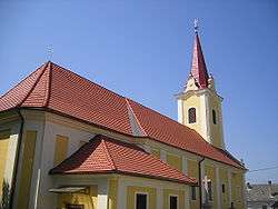 catholic church in the village | |
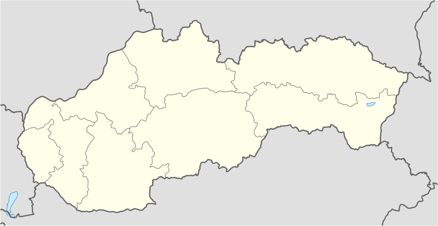 Svätý Peter Location of Svätý Peter in Slovakia | |
| Coordinates: 47°50′46″N 18°15′49″E | |
| Country | Slovakia |
| Region | Nitra |
| District | Komárno |
| First mentioned | 1332 |
| Government | |
| • Mayor | József Jobbágy |
| Area | |
| • Total | 34.33 km2 (13.25 sq mi) |
| Elevation | 138 m (453 ft) |
| Population (2001) | |
| • Total | 2,621 |
| • Density | 76/km2 (200/sq mi) |
| Postal code | 946 57 |
| Area code(s) | 0 36 |
| Car plate | KN |
Geography
The village lies at an altitude of 138 metres and covers an area of 34.327 km². It has a population of about 2610 people.
History
In the 9th century, the territory of Svätý Peter became part of the Kingdom of Hungary. In historical records the village was first mentioned in 1332. After the Austro-Hungarian army disintegrated in November 1918, Czechoslovak troops occupied the area, later acknowledged internationally by the Treaty of Trianon. Between 1938 and 1945 Svätý Peter once more became part of Miklós Horthy's Hungary through the First Vienna Award. From 1945 until the Velvet Divorce, it was part of Czechoslovakia. Since then it has been part of Slovakia.
Ethnicity
The village is about 74% Magyar, 26% Slovak.
External links
| Wikimedia Commons has media related to Svätý Peter. |