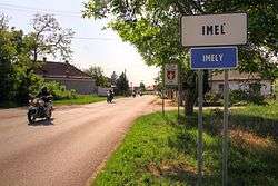
Imeľ
Imeľ (Hungarian: Ímely, Hungarian pronunciation:[ˈiːmɛj]) is a village and municipality in the Komárno District in the Nitra Region of southwest Slovakia.
Imeľ Ímely | |
|---|---|
Village | |
 | |
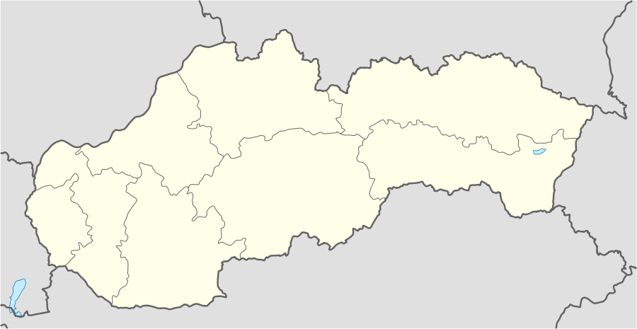 Imeľ Location of Imeľ in Slovakia | |
| Coordinates: 47°54′N 18°09′E | |
| Country | Slovakia |
| Region | Nitra |
| District | Komárno |
| First mentioned | 1404 |
| Area | |
| • Total | 21.96 km2 (8.48 sq mi) |
| Elevation | 111 m (364 ft) |
| Population (2011) | |
| • Total | 2,054 |
| • Density | 94/km2 (240/sq mi) |
| Postal code | 946 52 |
| Area code(s) | +421-35 |
| Car plate | KN |
| Website | www.obecimel.sk |
History
In historical records the village was first mentioned in 1404. It was sacked by Ottoman troops in 1561. It was also managed by Ottoman Empire during periods of 1566-1595, 1605-1606 and 1663-1685. It was recorded as "Imo" as part of Komaran nahiya in Estergon sanjak of Budin Eyalet in 1664 Ottoman record. It had 45 homes and 12470 akches of tax was collected.
After the Austro-Hungarian army disintegrated in November 1918, Czechoslovak troops occupied the area, later acknowledged internationally by the Treaty of Trianon. Between 1938 and 1945 Imeľ once more became part of Miklós Horthy's Hungary through the First Vienna Award. From 1945 until the Velvet Divorce, it was part of Czechoslovakia. Since then it has been part of Slovakia.
Population
According to the 2011 census, the municipality had 2,054 inhabitants. 1,125 of inhabitants were Slovaks, 878 Hungarians and 51 others and unspecified.[1]
References
- "Archived copy" (PDF). Archived from the original (PDF) on November 14, 2012. Retrieved August 10, 2012.CS1 maint: archived copy as title (link)
Genealogical resources
The records for genealogical research are available at the state archive "Statny Archiv in Nitra, Slovakia"
- Roman Catholic church records (births/marriages/deaths): 1705-1895 (parish A)
- Reformated church records (births/marriages/deaths): 1786-1936 (parish B)
External links