Staithgate
Staithgate, also called Staygate, is a community in the City of Bradford, West Yorkshire, England. The postcode serving Staithgate: BD6. The community is near the M606 motorway.
| Staithgate | |
|---|---|
 Staygate Green | |
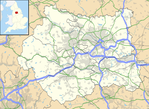 Staithgate Location within West Yorkshire | |
| OS grid reference | SE163301 |
| Metropolitan borough | |
| Metropolitan county | |
| Region | |
| Country | England |
| Sovereign state | United Kingdom |
| Postcode district | BD6 |
| Dialling code | 01274 |
| Police | West Yorkshire |
| Fire | West Yorkshire |
| Ambulance | Yorkshire |
Commerce
There are now more than forty registered businesses in the industrial estate, There is a high number of home businesses.
Geography
Staithgate is located at 53°46′01.20″N 01°45′06.11″W. (2.0 mi²) of it is land and (0.14 mi²) of it (5%) is water. The elevation is 656 feet (200 m) above sea level. The boundaries on Rooley Avenue to the north, M606 motorway to the east, Low Moor to the south, village of Odsal to the west.
Demographics
Often, many of the people who live in this sort of postcode will be middle income, older couples. These are known as type 33 in the ACORN classification and 3.14% of the UK's population live in this type.
Transport
Distances to major travel hubs are:
- Railway station: Bradford Interchange – 1.74 miles
- Coach station: Bradford Interchange – 1.62 miles
- Airport: Leeds Bradford International Airport – 7.95 miles
- Ferry port: Heysham – 50.86 miles
Access to the motorway network is provided at the roundabout of A6036 road and A6177 road, where the M606 motorway starts.[1]
References
- "The M606 Motorway (Bradford Ring Road to M62 Chain Bar Interchange Section) and Connecting Roads Scheme 1989". Statutory Instruments (449). Highways England and Wales. 1989.