Socastee, South Carolina
Socastee is a census-designated place (CDP) in Horry County, South Carolina, United States. The population was 19,952 at the 2010 census.
Socastee, South Carolina | |
|---|---|
 Socastee Swing Bridge | |
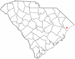 Location of Socastee in South Carolina | |
| Coordinates: 33°41′N 79°0′W | |
| Country | United States |
| State | South Carolina |
| County | Horry |
| Area | |
| • Total | 13.9 sq mi (36.0 km2) |
| • Land | 13.4 sq mi (34.6 km2) |
| • Water | 0.5 sq mi (1.4 km2) |
| Elevation | 16 ft (5 m) |
| Population (2000) | |
| • Total | 19,952 |
| • Density | 1,435/sq mi (554.2/km2) |
| Time zone | UTC−5 (EST) |
| • Summer (DST) | UTC−4 (EDT) |
| ZIP Code | 29588 |
| FIPS code | 45-67390[1] |
| GNIS feature ID | 1226740[2] |
History
Socastee is an Indigenous American name referred to as "Sawkastee" in a 1711 land grant to Percival Pawley. A skirmish between small forces of American and British troops occurred near Socastee Creek in 1781. By the 1870s, the Socastee community was a significant center for the production and distribution of naval stores such as turpentine and tar. This area included a saw mill, turpentine distilleries, cotton gin, grist mill, cooper shop and general store. The Socastee Historic District was listed in the National Register of Historic Places in 2002.
Geography
Socastee is located at 33°41′N 79°0′W (33.686 -78.993).[3]
According to the United States Census Bureau, the CDP has a total area of 13.9 square miles (36.0 km²), of which 13.4 square miles (34.6 km²) is land and 0.5 square mile (1.4 km²) (3.81%) is water.
Demographics
At the 2000 census there were 14,295 people, 5,593 households, and 3,820 families living in the CDP. The population density was 1,069.1 people per square mile (412.8/km²). There were 6,356 housing units at an average density of 475.4 per square mile (183.6/km²). The racial makeup of the CDP was 86.81% White, 7.01% African American, 0.35% Native American, 2.10% Asian, 0.13% Pacific Islander, 2.01% from other races, and 1.59% from two or more races. Hispanic or Latino of any race were 4.66%.[1]
Of the 5,593 households 33.1% had children under the age of 18 living with them, 52.4% were married couples living together, 11.3% had a female householder with no husband present, and 31.7% were non-families. 22.7% of households were one person and 4.6% were one person aged 65 or older. The average household size was 2.54 and the average family size was 2.97.
The age distribution was 24.3% under the age of 18, 9.7% from 18 to 24, 34.9% from 25 to 44, 22.7% from 45 to 64, and 8.4% 65 or older. The median age was 34 years. For every 100 females, there were 102.0 males. For every 100 females age 18 and over, there were 101.4 males.
The median household income was $40,436 and the median family income was $45,994. Males had a median income of $28,845 versus $21,782 for females. The per capita income for the CDP was $18,069. About 5.6% of families and 9.3% of the population were below the poverty line, including 13.7% of those under age 18 and 7.8% of those age 65 or over.
Education
Socastee has a public library, a branch of the Horry County Memorial Library.[4]
See also
References
- "U.S. Census website". United States Census Bureau. Retrieved 2008-01-31.
- "US Board on Geographic Names". United States Geological Survey. 2007-10-25. Retrieved 2008-01-31.
- "US Gazetteer files: 2010, 2000, and 1990". United States Census Bureau. 2011-02-12. Retrieved 2011-04-23.
- "Locations & Hours". Greenville County Library System. Retrieved 8 June 2019.
Municipalities and communities of Horry County, South Carolina, United States | ||
|---|---|---|
| Cities | 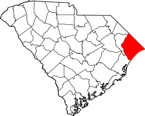 Map of South Carolina highlighting Horry County | |
| Towns | ||
| CDPs | ||
| Unincorporated communities | ||