Slashten
Slashten (Bulgarian: Слащен) is a village in Southwestern Bulgaria. It is located in the Satovcha Municipality, Blagoevgrad Province.
Slashten Слащен | |
|---|---|
Village | |
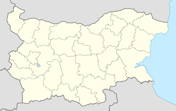 Slashten Location of Slashten | |
| Coordinates: 41°30′N 24°1′E | |
| Country | |
| Province (Oblast) | Blagoevgrad |
| Municipality (Obshtina) | Satovcha |
| Government | |
| • Mayor | Dzheit Neizir (MRF) |
| Area | |
| • Total | 20.975 km2 (8.098 sq mi) |
| Elevation | 679 m (2,228 ft) |
| Population (2010-12-15)[2] | |
| • Total | 1,973 |
| Time zone | UTC+2 (EET) |
| • Summer (DST) | UTC+3 (EEST) |
| Postal Code | 2937 |
| Area code(s) | 07546 |
Geography
The village of Slashten is located in the Western Rhodope Mountains. It belongs to the Chech region.
History
In 1873 Slashten (Slaschtene) had male population of 130 Pomaks and 50 houses.[3] According to Vasil Kanchov, in 1900 Slashten was populated by 750 Bulgarian Muslims[4] According to another statistic by Kanchov about the same time there were 90 houses in the village.[5]
Culture and Nature
The cave Stapalkite (The Steps) is 64 meters long with 38 meters denivelation (vertical rise).
References
| Wikimedia Commons has media related to Slashten. |
- "Archived copy". Archived from the original on 2011-10-27. Retrieved 2011-10-31.CS1 maint: archived copy as title (link)
- "Table". grao.bg.
- Македония и Одринско. Статистика на населението от 1873 г. (in Bulgarian, French, English, and Russian) (II ed.). София: Македонски научен институт. 1995 [1878]. pp. 132–133.
- Кънчов, Васил (1996) [1900]. "Неврокопска Каза". Македония. Етнография и статистика (in Bulgarian) (II ed.). София: Проф. М. Дринов. p. 195.
- Кънчов, Васил (1970) [1894-1896]. "Неврокопската каза". Пътуване по долините на Струма, Места и Брегалница. Битолско, Преспа и Охридско (in Bulgarian). София: Наука и изкуство. p. 274.
Capital: Satovcha | ||
| Villages |  | |
| Landmarks | ||
| Culture | ||
| Notable people | ||
This article is issued from Wikipedia. The text is licensed under Creative Commons - Attribution - Sharealike. Additional terms may apply for the media files.